
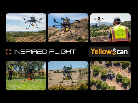
Inspired Flight, a provider of multirotor drones, utilized the YellowScan Mapper and Mapper+ LiDAR systems to determine the number of shrubs present at a specific site during an environmental monitoring study.
The Mapper+ with Camera Module and Mapper systems were incorporated, along with their specific flight configurations, onboard the Inspired Flight IF1200A drone for the study.
In the field of environmental monitoring and analysis, the precise evaluation of vegetation is essential for gaining a comprehensive understanding of ecosystems.
The introduction of drones outfitted with cutting-edge imaging systems has significantly transformed this process, enabling more efficient and accurate data collection.
Study Challenges
Accurate ground topography data is crucial for understanding terrain variations, water flow patterns, and landscape characteristics. Traditional ground survey methods can be labor-intensive and may not effectively cover large or hard-to-reach areas.
The challenge in this mission was to quickly and accurately gather high-resolution ground topography data to facilitate efficient decision-making across various applications.
Mission Objectives
The primary objectives of this study were to:
1. Utilize the Mapper and Mapper+ solutions for aerial data collection to determine the number of shrubs within a designated area.
2. Evaluate the effectiveness of the Mapper and Mapper+ in terms of flight time, image quality, and data accuracy.
3. Compare the results obtained from the two drone models and their respective flight configurations.
Data Acquisition
In this study, two LiDAR systems were employed: the Mapper and Mapper+, both outfitted with their camera modules.
The solutions were integrated onto the IF1200A drone using the Gremsy quick-release clip. The Mapper+ was operated at a speed of 5 meters per second and at a flight altitude ranging between 60 and 70 meters, and the Mapper was also flown under identical conditions. The mission involved surveying a surface area of 80,000 square meters.
Study Results & Analysis
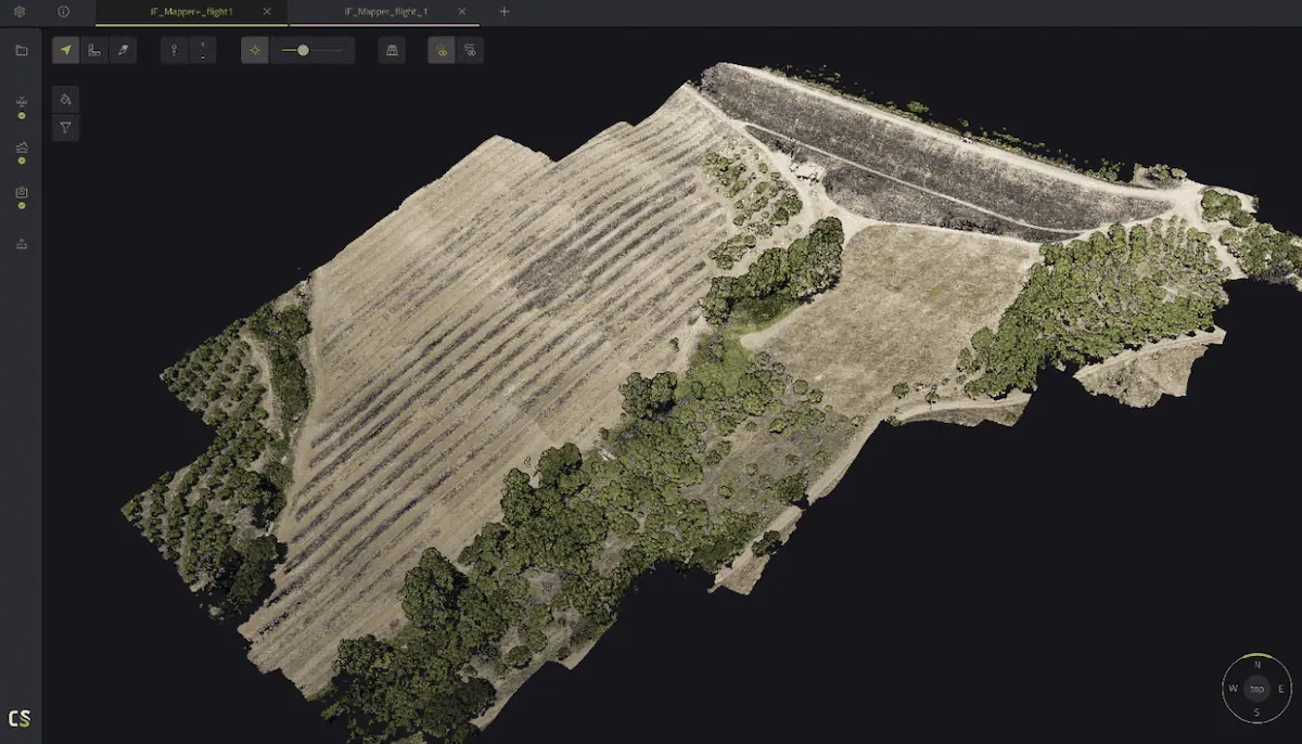
The Mapper+ provided significant insights, with the data collected during its 16-minute flight offering a detailed understanding of shrub distribution across the surveyed area. The Mapper, with its 19-minute flight, also captured extensive information about the shrub population within the same region.
Upon analysis, the Mapper+ demonstrated its efficiency by covering the designated area in a shorter period due to its faster flight speed. Both LiDAR systems captured high-quality imagery, enabling accurate counting of shrubs.
Additionally, the collected data can be further analyzed using specialized software such as YellowScan CloudStation for more detailed classification.
Casey Viera, Inspired Flight Operations Fleet Manager, commented, “Setting up each of their products has involved little more than getting it attached to the vehicle.
“The VX-20, Mapper and Mapper+ were all integrated seamlessly using both YellowScan mounting hardware or Gremsy Quick Connect mounts and tested in the field with great results. YellowScan has been a great integration for the Inspired Flight vehicles. The ease of use with their ‘just press the yellow button’ philosophy was a simple and effective process.”
Read the original study, “Case Study: Environmental Monitoring and Analysis using LiDAR Technology” >>


