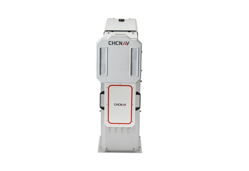
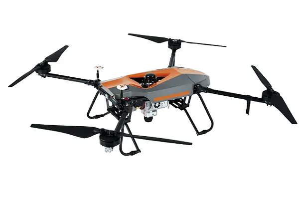
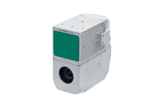
The PS-2000 Monitoring System is an innovative solution for monitoring slope stability and deformation. It uses advanced techniques such as differential interferometric measurement and circular synthetic aperture imaging to provide non-contact, high-precision measurements. With a wide monitoring range of 360°, it excels in large scale monitoring. Its high data update rate ensures real-time insights, while its robust performance is unaffected by weather and lighting conditions. Compact and lightweight, it offers fast and flexible deployment, making it ideal for public and railway embankments, open-cast mines, landslides, dams and scientific research.
-
Products and Suppliers
Featured Suppliers
PCB Fabrication & Assembly; RF, Military Grade, Flex, & Metal Core PCB Capabilities for Unmanned SystemsRugged Embedded Computing, Single Board Computers, Processing Modules & Embedded DevicesPrecise Positioning for Unmanned Vehicles: GPS & GNSS Receivers, Antennas & Inertial SystemsPrecision Electro-Mechanical Servo Actuators for Drones, UAVs, Unmanned Systems & RoboticsInertial Navigation Sensors: MEMS IMU, Accelerometers, Gyroscopes, AHRS, GPS-INS & Point Cloud Generation -
Sectors and Contents


