Revolutionizing Radar Data Visualization with SPx Viewer-3D
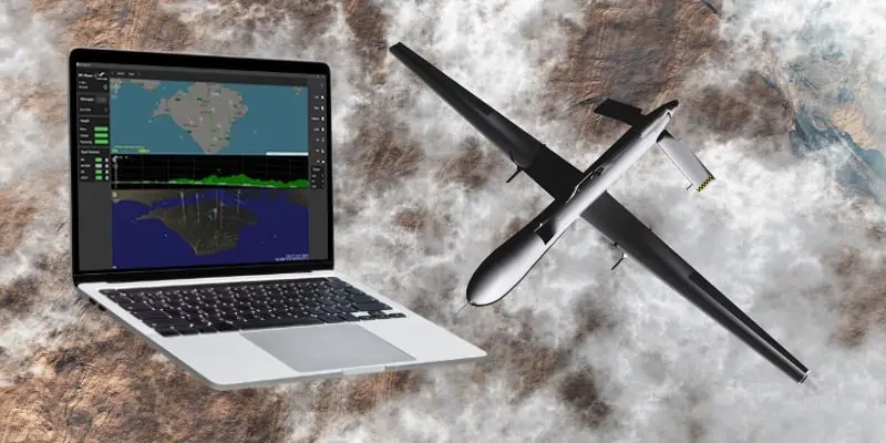
Cambridge Pixel has introduced an innovative software solution designed to visualize radar tracks in a three-dimensional format. This request is particularly useful for tasks such as detecting drones, identifying nearby objects, avoiding collisions, and inspecting surfaces or objects.
Enhanced Data Interpretation for Critical Applications
The capability to visualize data from 3D sensors provides operators with a more detailed understanding of targets, incorporating parameters such as range, direction, and elevation. This enhanced granularity is crucial for informed decision-making and situational assessment in various fields, including air defense systems, naval operations, military initiatives, and security projects.
Features of SPx Viewer-3D
The SPx Viewer-3D processes ASTERIX or spx track reports and presents them in a customizable multi-window layout. Users can switch between a plan view, range-height view, and a 3D perspective, all of which feature operator-controlled zoom and viewport options. To further aid in track interpretation, the software integrates AIS and ADS-B tracks, displaying them alongside a map in the plan view and with terrain overlays in both the range-height and 3D views. The terrain data in the range-height view is particularly beneficial for assessing target visibility, while the 3D view combines terrain and mapping for a comprehensive track display.
User-Kind interface and Compatibility
The newly launched SPx Viewer-3D boasts an intuitive web-based interface and is compatible with a diverse array of radar sensors, including both legacy 3D radars and contemporary electronically-scanned radars.
Industry Insights and Future Applications
David Johnson, Managing Director of Cambridge Pixel, stated, “This software enhances our SPx Tracker-3D, which is tailored for the latest advanced 3D and electronically-scanned radar technologies.” He noted that these radars are increasingly being utilized not only in air defense and military applications but also in environmental monitoring and surveillance tasks.


