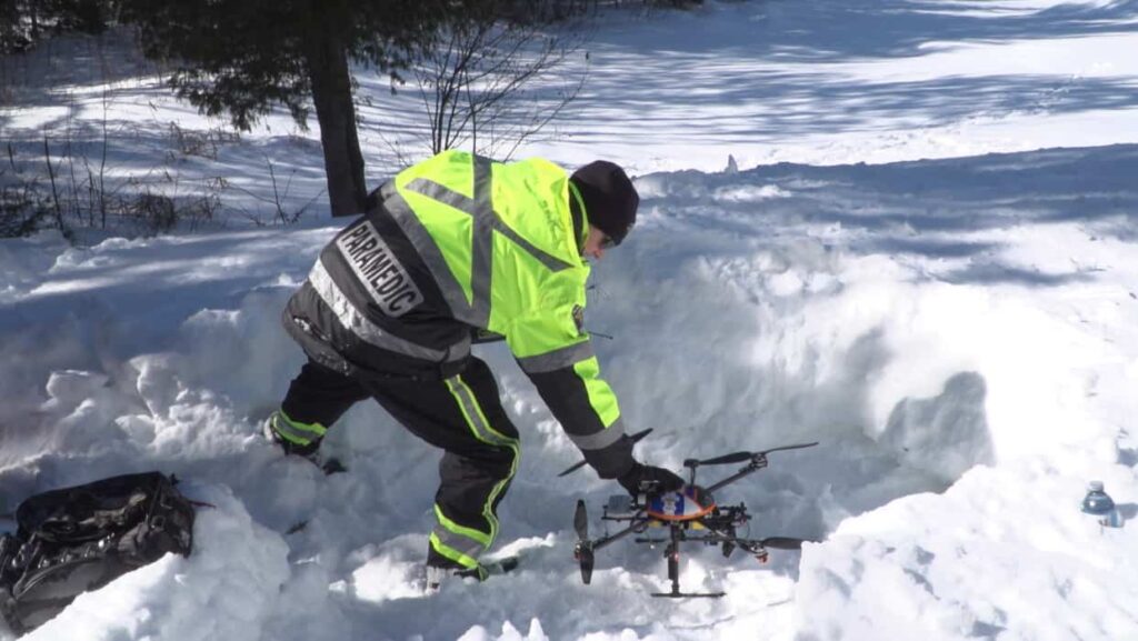
Innovative Drone Solutions for Search and Rescue in Canada
Kongsberg Geospatial has joined forces with Larus Technologies and the Civil Air Search and Rescue Association of Canada (CASARA) to create advanced drone-based search and rescue (SAR) solutions tailored for remote Canadian communities. This initiative combines cutting-edge geospatial software, artificial intelligence, and machine vision technologies.
Project OVERSEE: A New Frontier in SAR Operations
The OVERSEE (Optical vision Enhancement and Refinement of Sensor Exploitation Effectiveness) initiative is backed by the Search and rescue New Initiatives Fund (SAR NIF). Its primary objective is to tackle the distinct challenges faced during UAV (unmanned aerial vehicle) search and rescue missions,particularly in isolated regions such as Arctic indigenous communities.
Utilizing Data for Enhanced AI Simulations
Initially, the project will leverage existing SAR data from the Department of National Defense, CASARA, Transport Canada, and other relevant organizations. This information will fuel AI-driven simulations, employing deep learning techniques to analyze the impact of BVLOS (beyond visual line of sight) regulations on drone-based SAR missions. The research will focus on optimizing drone integration in operations, especially for remote indigenous communities that lack immediate access to traditional aeronautical SAR resources. The ultimate aim is to empower CASARA members and Ground search and Rescue (GSAR) personnel to utilize BVLOS drones more effectively in their operations.
Expertise and Contributions from Key Partners
kongsberg Geospatial will spearhead the project, drawing on its extensive experience in precision mapping, Air Traffic Management, and the development of multi-vehicle UAS control stations for BVLOS missions. The company will also provide essential tools and training in machine vision techniques.
Larus Technologies,known for its Intelligence,Surveillance,and Reconnaissance (ISR) systems in defence,will contribute its Total::Perception simulation engine and Total::Vision computer vision technology to the project.
Community Involvement and Data Collection
CASARA will play a crucial role in gathering drone footage from training exercises across Canada, collaborating with its volunteers, and collecting SAR event statistics from local organizations. Once the project concludes, CASARA will disseminate the standard operating procedures developed during the initiative to its members, ensuring that all Civil Air Search and Rescue workers and volunteers have access to enhanced UAS SAR guidelines.
Statements from Project Leaders
Frank Schuurmans, President of CASARA, expressed optimism about the initiative, stating, “This collaboration with Kongsberg Geospatial has the potential to substantially improve our organization’s capacity to deliver timely and effective SAR assistance. We are eager to work closely with Kongsberg Geospatial, Larus Technologies, and the Department of National Defence, providing SAR consultation throughout all phases and facilitating information sharing through our established communication channels.”
Ranald McGillis, President of Kongsberg Geospatial, added, “We and our partners are confident that this project can empower search and rescue volunteers to save lives in remote communities by utilizing affordable, off-the-shelf drones for initial searches untill the Canadian Air Force or other aerial assets can arrive. Our goal is to enhance survival rates by demonstrating how drone systems can be improved with Computer Vision technologies for superior performance.”


