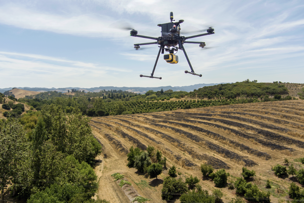
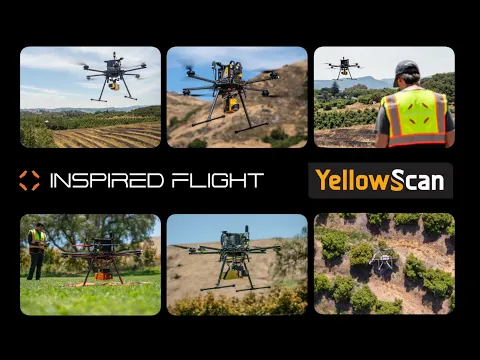
Inspired Flight, a leader in multirotor drone technology, employed the YellowScan Mapper and Mapper+ LiDAR systems to assess shrub populations at a designated environmental monitoring site.
The study utilized the Mapper+ equipped with a Camera Module and the Mapper systems, integrated into the Inspired Flight IF1200A drone, tailored for optimal flight configurations.
In environmental monitoring, accurately assessing vegetation is vital for a thorough understanding of ecosystems.
The advent of drones equipped with advanced imaging technology has revolutionized this field, allowing for more efficient and precise data collection.
Challenges Faced in the Study
Obtaining accurate topographical data is essential for analyzing terrain variations, hydrological patterns, and landscape features. Conventional ground survey techniques can be time-consuming and may not adequately cover expansive or inaccessible areas.
The primary challenge of this mission was to swiftly and accurately collect high-resolution topographical data to support effective decision-making across various applications.
objectives of the Mission
The key goals of this study included:
1. employing the Mapper and Mapper+ systems for aerial data collection to quantify shrub numbers in a specified area.
2. Assessing the performance of the Mapper and Mapper+ in terms of flight duration, image clarity, and data precision.
3. Comparing the outcomes from both drone models and their respective flight configurations.
Data Collection Methodology
For this investigation, two LiDAR systems were utilized: the Mapper and Mapper+, both equipped with camera modules.
These systems were mounted on the IF1200A drone using a Gremsy rapid-release mechanism. The mapper+ was flown at a speed of 5 meters per second and at altitudes between 60 and 70 meters, with the Mapper operating under the same conditions. the mission encompassed a survey area of 80,000 square meters.
Findings and Insights
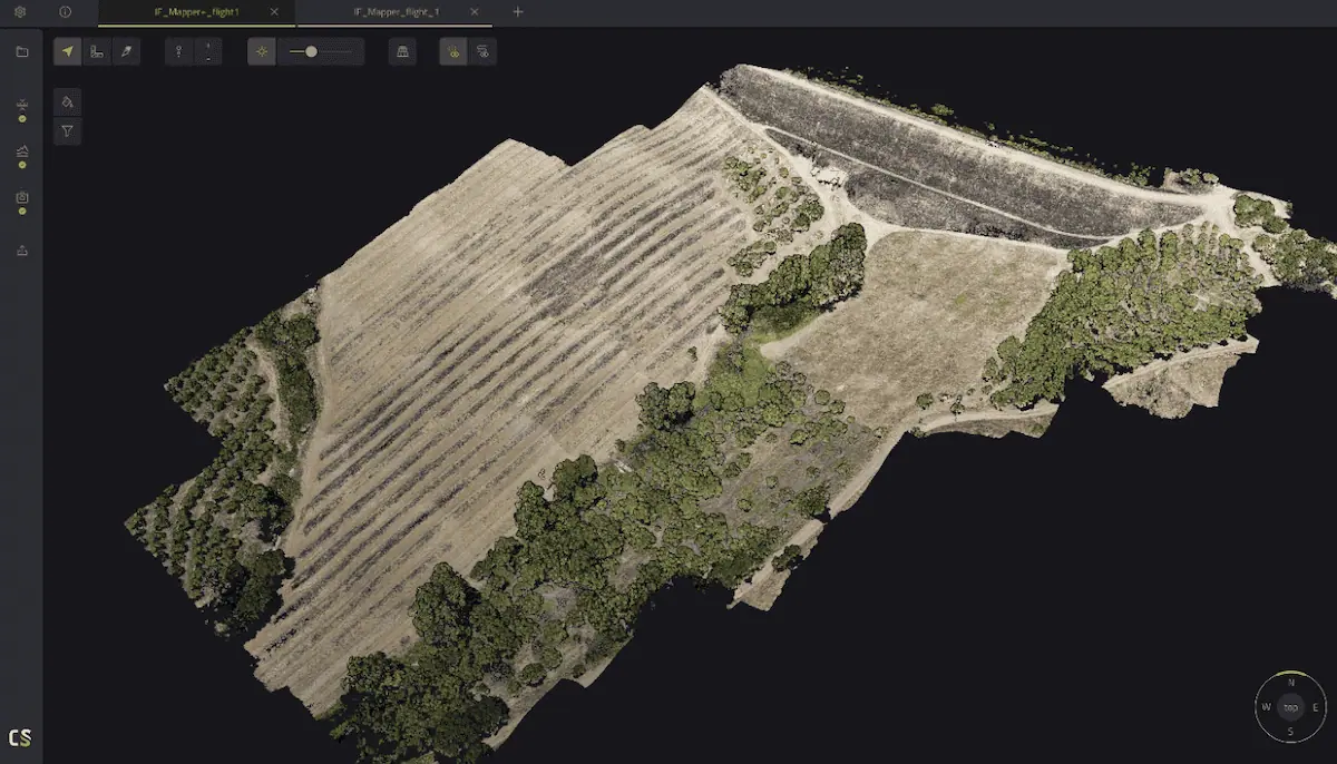
the Mapper+ yielded valuable insights, with data gathered during its 16-minute flight providing a comprehensive overview of shrub distribution in the surveyed region. The Mapper,with a flight duration of 19 minutes,also gathered extensive data on the shrub population in the same area.
Analysis revealed that the Mapper+ was more efficient,covering the area in less time due to its higher flight speed. both LiDAR systems produced high-quality images, facilitating accurate shrub counts.
Moreover, the data collected can be further processed using specialized software like YellowScan CloudStation for enhanced classification.
Casey Viera, Operations Fleet Manager at inspired Flight, remarked, “The setup for each of their products has been straightforward, primarily involving attachment to the vehicle.”
“The VX-20, Mapper, and Mapper+ were all integrated seamlessly using either YellowScan mounting hardware or Gremsy Quick Connect mounts, and field tests yielded excellent results. yellowscan has proven to be a valuable partner for Inspired Flight vehicles, with their user-friendly ‘just press the yellow button’ approach simplifying the process.”
Explore the original study,“Case Study: Environmental Monitoring and Analysis using LiDAR Technology” >>


