Enhancing Drone Operations with the US-D1 Radar altimeter
Ainstein highlights the advantages of its US-D1 radar altimeter for reconnaissance and surveillance applications, detailing its features, uses, and operational mechanics.
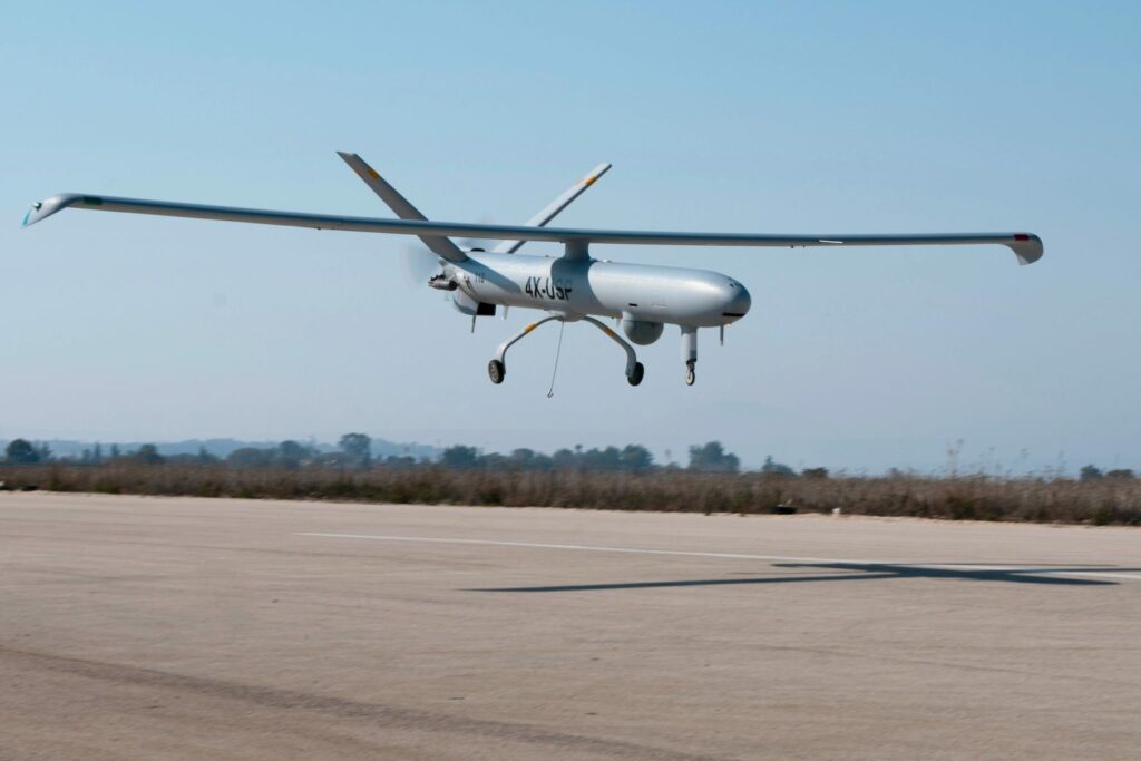
Precision and Efficiency in UAV Operations
The US-D1 radar altimeter is engineered to deliver precise, real-time altitude measurements for both industrial and tactical unmanned aerial vehicles (UAVs). It has established itself as the benchmark for vertical take-off and landing (VTOL) drones, thanks to its superior capability in facilitating smooth, dependable, and secure transitions.
Key Advantages of the US-D1
- Instantaneous data updates with a 100 Hz refresh rate
- Compact dimensions (108 x 79 x 20 mm)
- Lightweight design (weighing only 110g)
- User-kind installation (compatible with Ardupilot and PX4)
- Optimized for autonomous takeoff and landing (operating range of 0.3m-50m)
Ideal Applications for the US-D1
This radar altimeter is especially beneficial for manufacturers of surveillance and intelligence drones, lightweight fixed-wing tactical UAS, and various VTOL drone applications.
Why Choose a Radar Altimeter?
Utilizing a radar altimeter offers numerous advantages, including enhanced terrain-following capabilities for UAVs. Compared to laser altimeters, radar systems perform better over water surfaces. Furthermore, unlike GPS, radar altimeters can effectively adapt to diverse terrain conditions.
Seamless Integration with UAVs
The US-D1 is designed for effortless integration with your UAV. It is available with either a Molex 4POS 2.54MM or JST_GHR-04V-S connector, facilitating straightforward connections to the UAV’s flight controller serial port. Its compact size allows for versatile mounting options on the underside of the UAV frame, including locations near the landing gear or foot, ensuring an unobstructed field of view. An STP file for the US-D1 can be found on its product page to aid in the integration process.
Setup and Validation Process
For UAVs operating on Ardupilot or PX4 software, users must configure the necessary parameters for the US-D1 and restart the flight controller. Once this is completed, the sensor will be ready for use. It is advisable to conduct manual VTOL maneuvers to confirm the accuracy of the US-D1 data. After validation, users can initiate test flights with autonomous VTOL capabilities, utilizing the US-D1’s input to ensure precise takeoff and landing operations.


