RIEGL is gearing up to showcase its cutting-edge LiDAR technology at XPONENTIAL Europe 2025, taking place in Düsseldorf from February 18-20. The company will highlight its diverse range of UAV-LiDAR sensors tailored for surveying tasks.
Visitors can find the RIEGL team in Hall 01 at Stand 1B01, where they will engage in discussions about the benefits of drone-based data collection for various applications and work collaboratively to create customized solutions that meet specific operational needs.
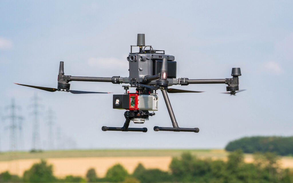
RIEGL VUX-120-23: Precision Scanning for Demanding Applications
The RIEGL VUX-120-23 stands out as an exceptional choice for projects that demand high-quality data. This lightweight UAV LiDAR sensor boasts a pulse repetition rate (PRR) of up to 2.4 MHz, can achieve up to 400 scan lines, and delivers an impressive ground measurement rate of two million points per second. Its NFB (Nadir/Forward/Backward) scanning capability—designed to optimize the detection of vertical features—significantly enhances data quality, making it particularly effective for power line assessments.
with a 100-degree field of view, this sensor enables UAVs to fly parallel to structures rather than directly above them, thereby increasing operational safety. its specifications also make the VUX-120-23 suitable for use on fixed-wing UAVs in corridor mapping scenarios.
RIEGL VUX-100-25: Ideal for Urban Environments
The newly released RIEGL VUX-100-25 is specifically designed for high-performance UAV surveying in tight spaces. Weighing only 2.36 kg (5.2 lbs) and featuring a field of view of up to 160 degrees, this adaptable sensor excels with a pulse repetition rate of up to 1,500 kHz, 1.3 million measurements per second,and a scan speed of up to 200 lines per second.
Capable of operating at a maximum altitude of 360 meters (1,200 feet), the VUX-100-25 is perfect for mapping intricate urban landscapes and narrow corridors, including road systems in densely populated areas.
This sensor is compatible with a variety of UAV platforms as well as small manned aircraft, such as gyroplanes and helicopters, broadening its application scope.
RIEGL RiLOC System Solutions: Efficiency meets Precision
The RiLOC system solutions from RIEGL are tailored for professionals seeking a blend of efficiency and accuracy, available in two models: the RiLOC-E-25 and the RiLOC-F.
These systems offer more than just high-precision laser scanning; they come equipped with an advanced IMU/GNSS unit and thorough software for efficient data processing. Users can swiftly capture, process, generate point clouds, and geo-reference data with remarkable speed.
Predefined system parameters and scanning settings enable fully autonomous operation during data collection, allowing UAV operators to prioritize flight safety.Streamlined workflows in both field operations and data processing lead to significant time and cost efficiencies. Additionally, seamless integration with a wide array of platforms ensures these systems are suitable for both seasoned surveying experts and newcomers to the field.
Erwin burth,Managing director of RIEGL Germany,stated,“Share your requirements,existing structures,and personal objectives with us,and we will create an optimized system for a highly efficient workflow tailored to your needs.”
Join RIEGL at Stand 1B01 during XPONENTIAL 2025 in Düsseldorf,or reach out via info@riegl-de.com to arrange a meeting.


