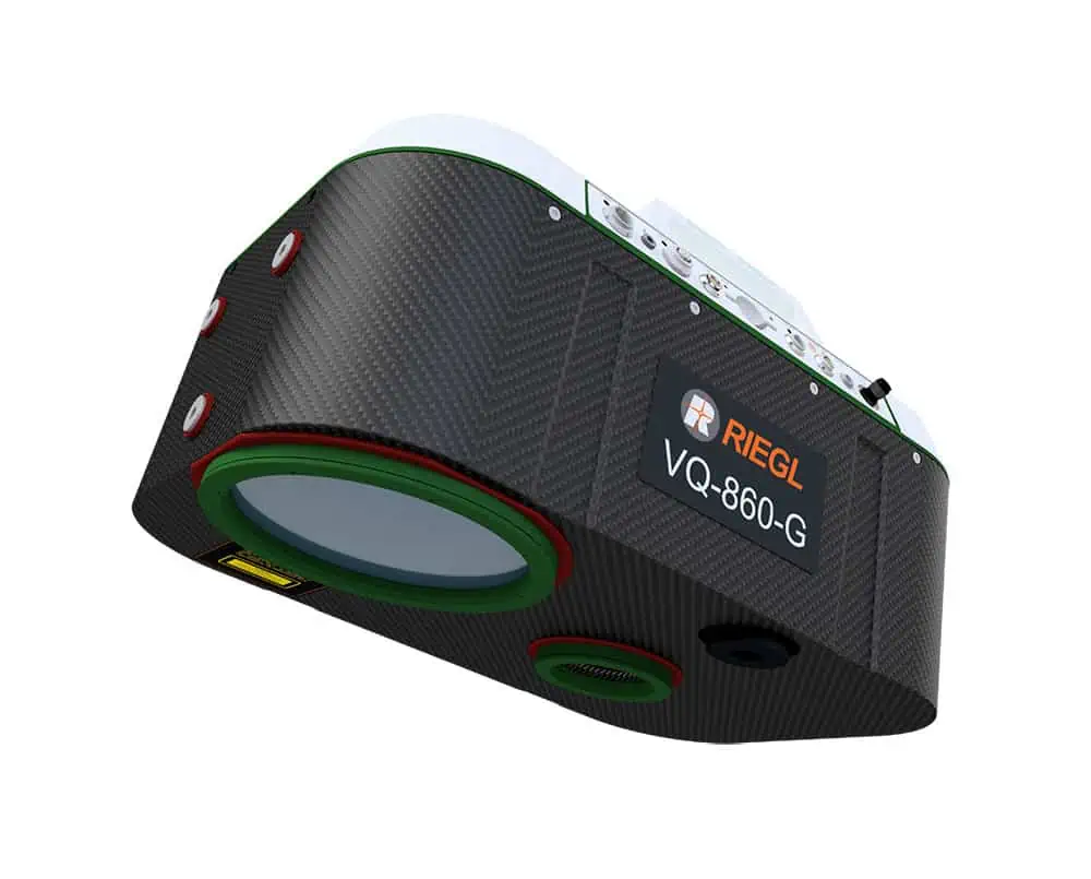
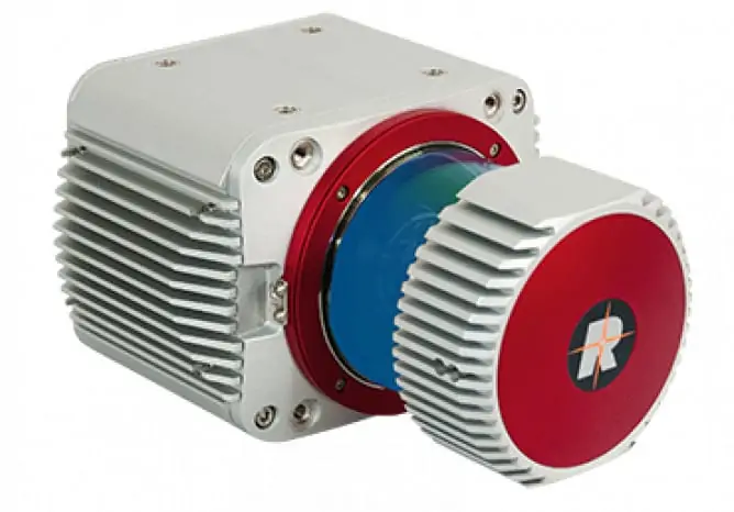
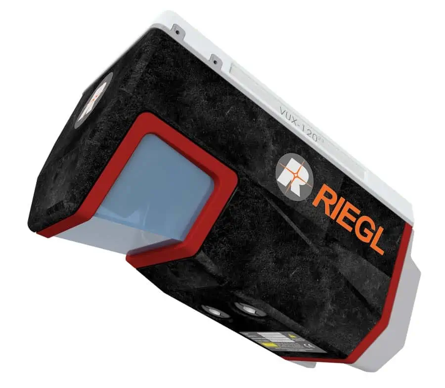
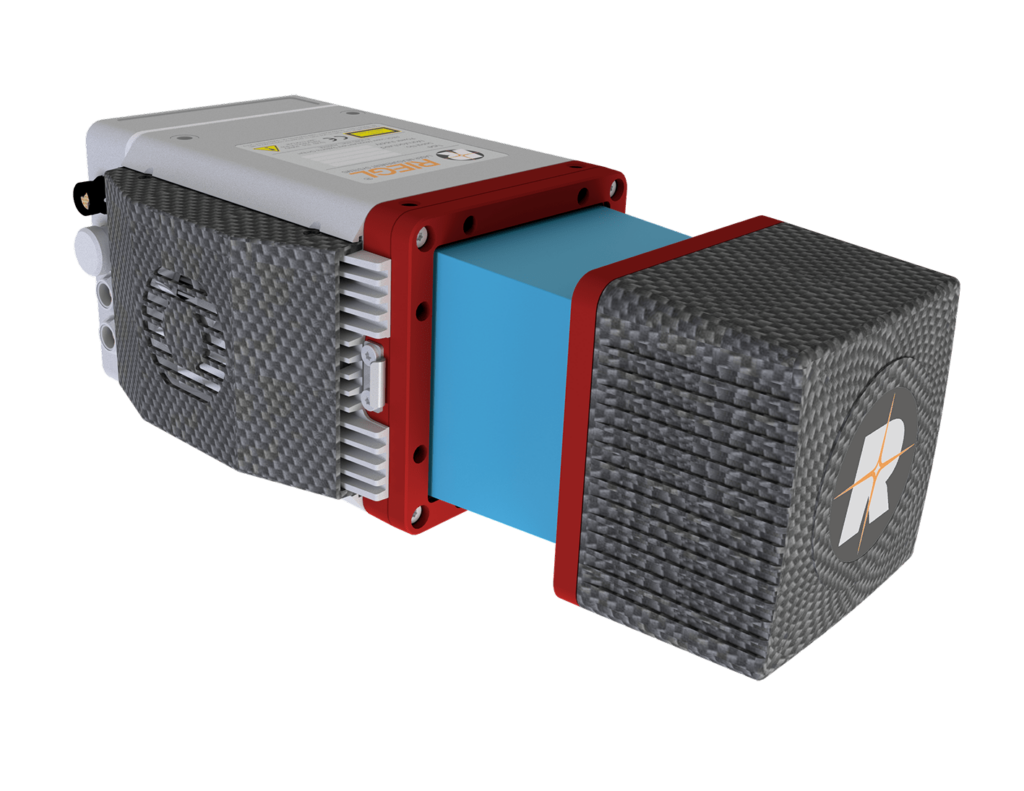
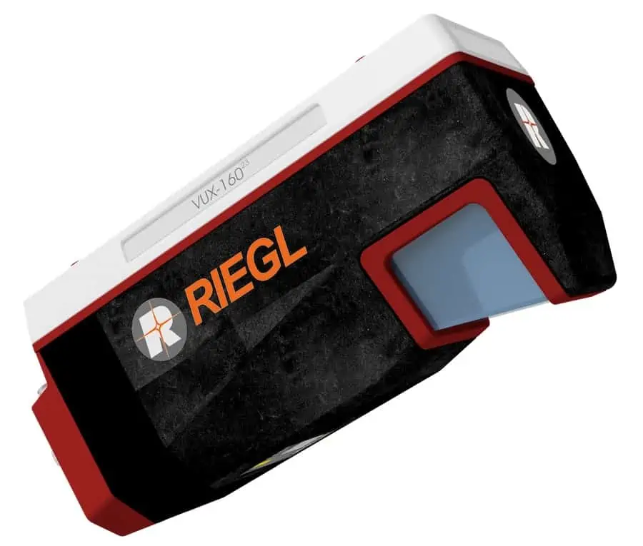
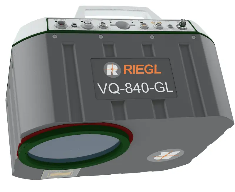
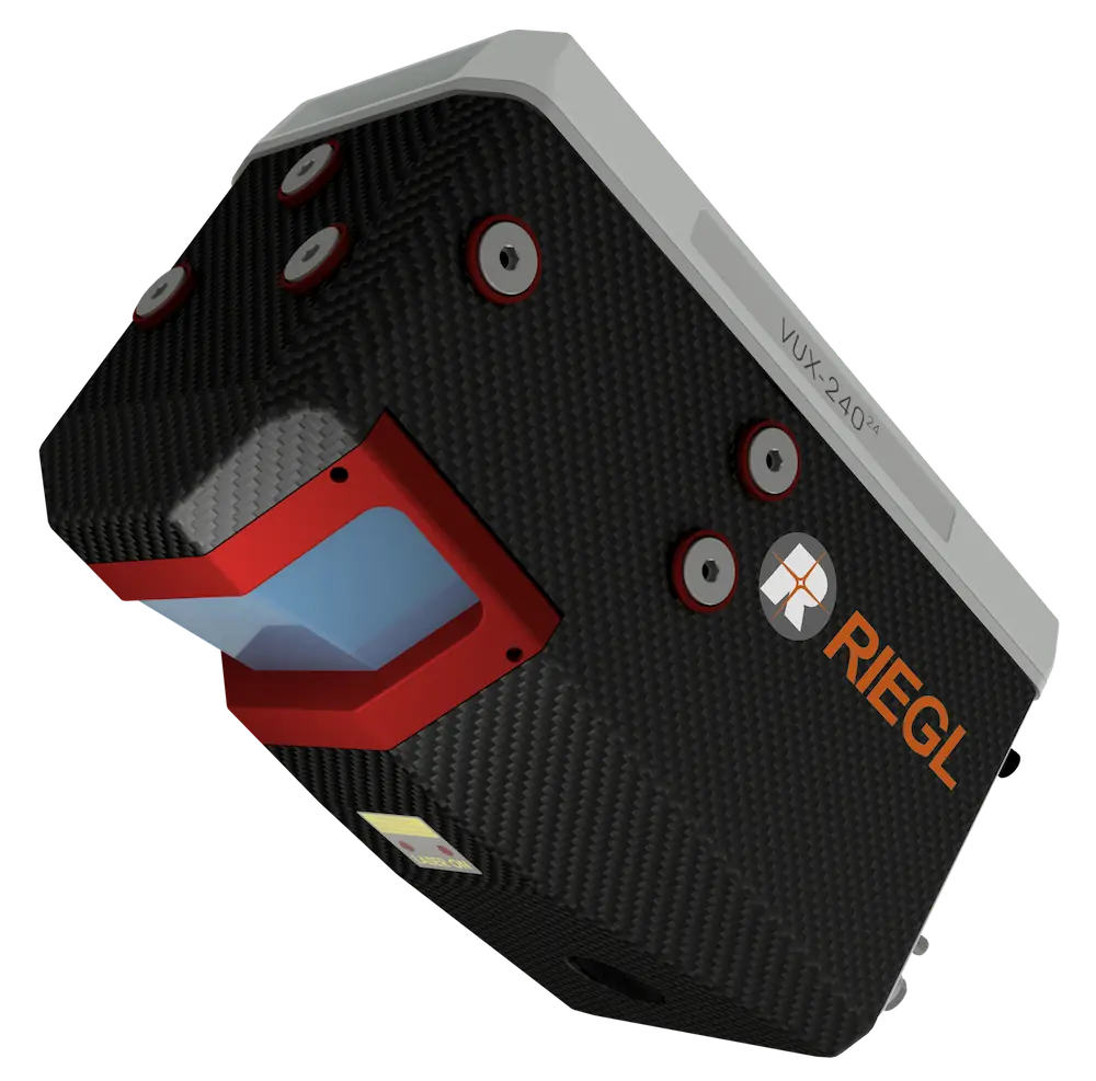
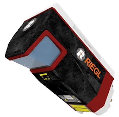
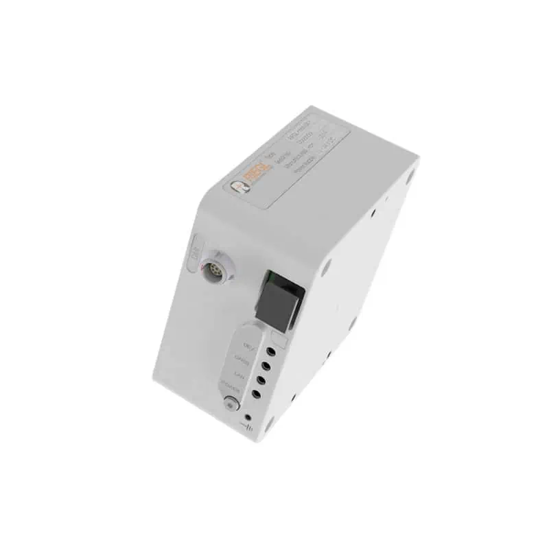
The RIEGL VQ-860-G airborne laser scanner is designed for high-resolution surveys of inland and near-shore waters that require enhanced water penetration, and can achieve up to 3 Secchi depths at an altitude of 75 metres. The system delivers excellent spatial resolution with measurement rates of up to 100 kHz and scanning speeds of up to 100 per second.
The compact unit weighs 15kg, making it suitable for larger drone platforms. It has been designed with a rugged mechanical structure and a dust- and splash- proof enclosure for long-term operation in challenging environments. It can be optionally equipped with a digital RGB camera for colorization, as well as a fully-integrated IMU/GNSS for enhanced location and orientation estimation.
The RIEGL VQ-860-G is ideal for a wide range of applications including coastline and river mapping, hydraulic engineering survey, and hydroarchaeology.
| Dimensions (L x W x H): | 467 x 284 x 202 mm |
| Weight: | 15 kg <18.5 kg w/ camera & IMU/GNSS |
| Power Consumption: | 180W typical 260W max |
| Laser Pulse Repetition Rate: | 50 to 100 kHz |
| FOV: | 3 to 18 mrad selectable |
| Scan Speed: | 10 – 100 lines/sec selectable |
| Accuracy: | 20 mm |
| Precision: | 15 mm |
| GNSS/INS: | Roll & Pitch accuracy 0.015° Heading accuracy 0.035° Position Accuracy (typ.) horizontal / vertical <0.05 m / <0.1 m |
| Digital Camera: | Sensor Resolution 12 MP / 24 MP Sensor Dimensions (diagonal) 17.5 mm (4112 x 3008 px) Focal Length 16 mm |


