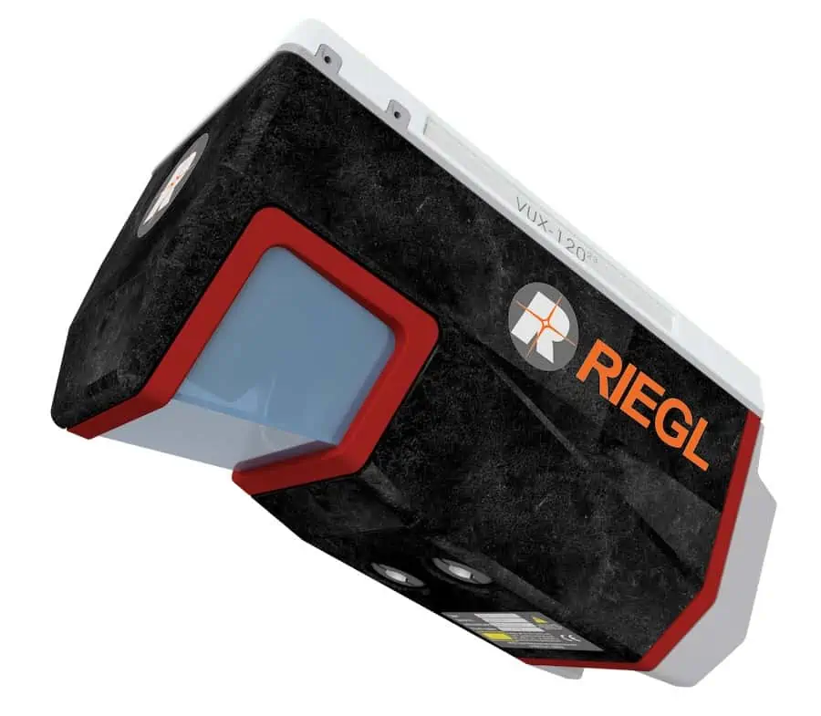
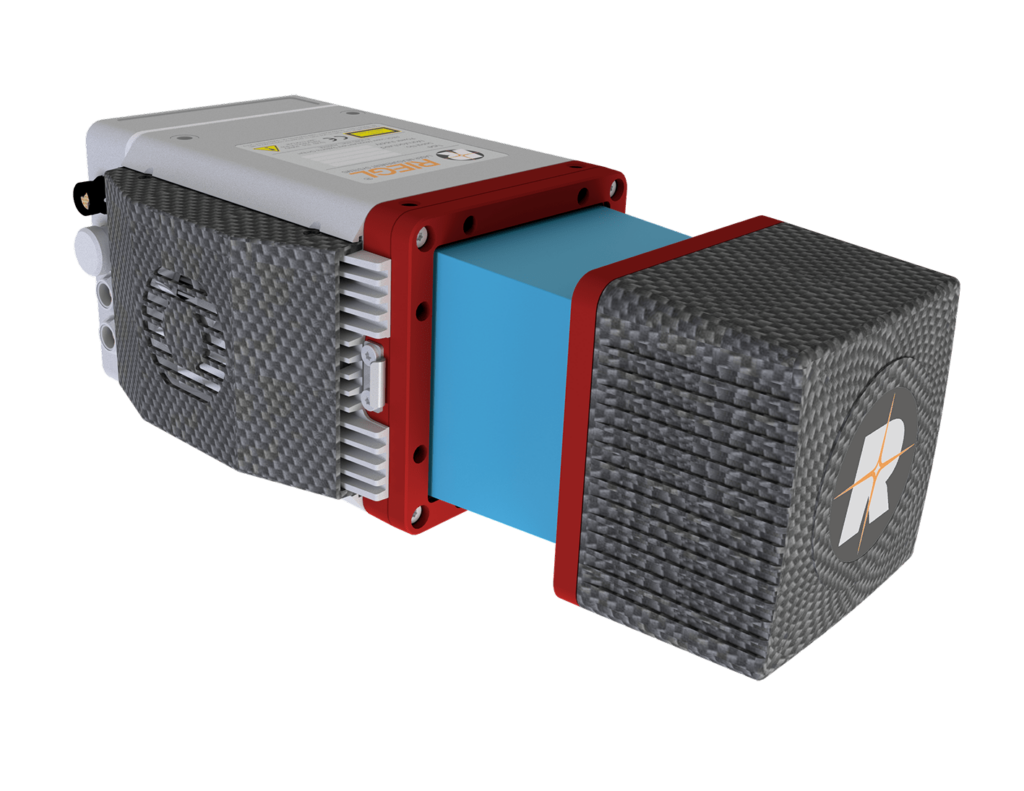
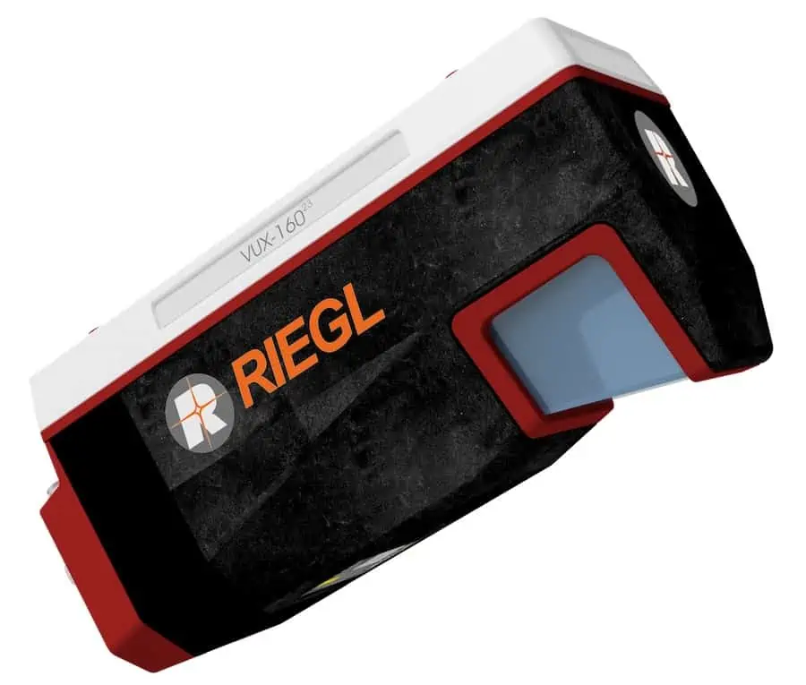
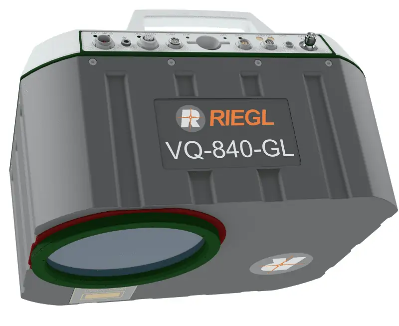
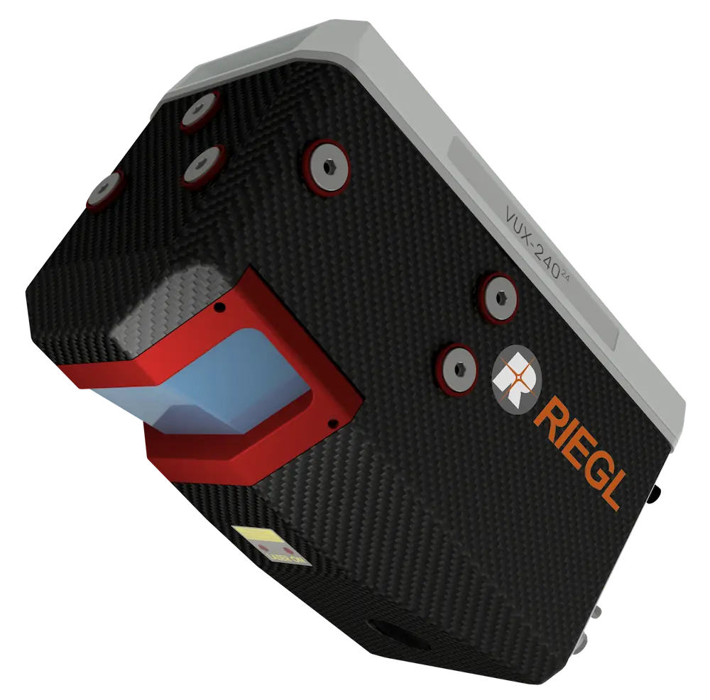
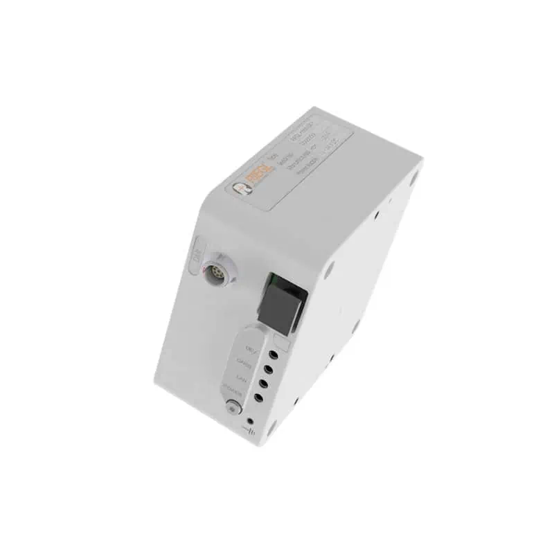
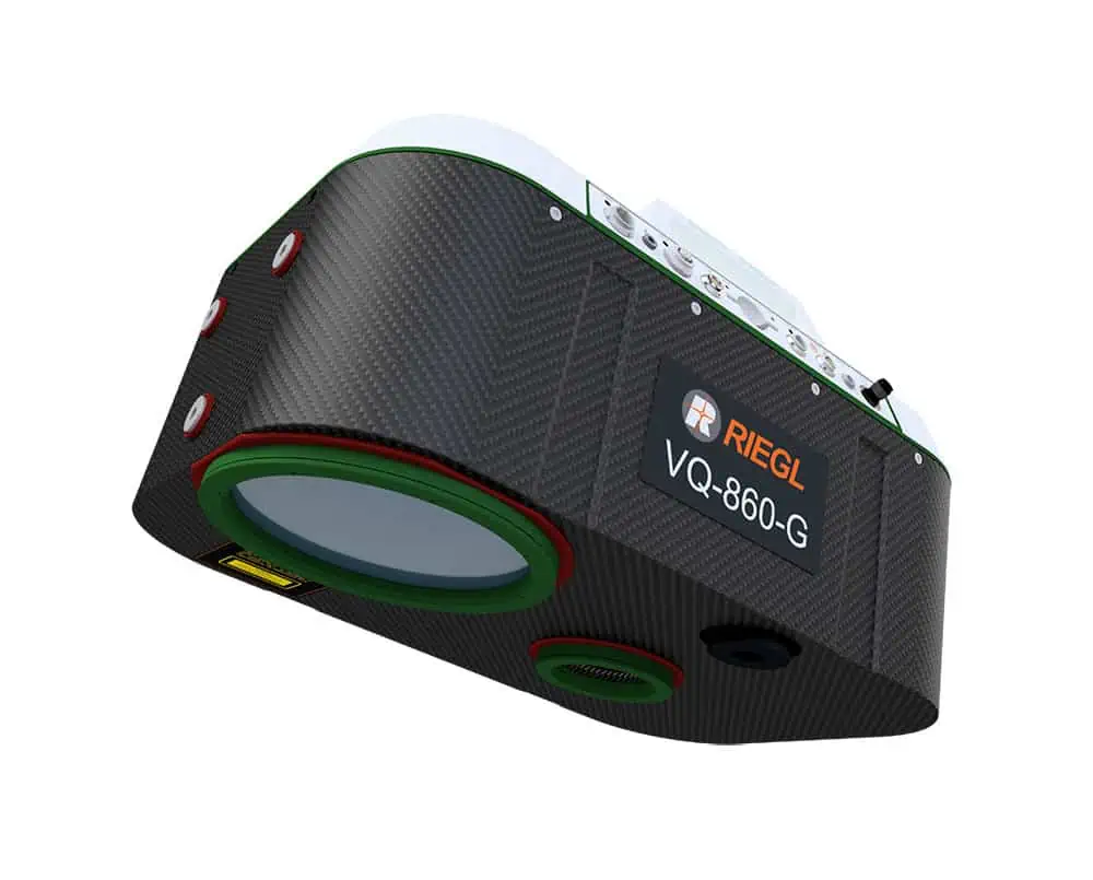
The RIEGL VUX-120²³ is a versatile UAV LiDAR scanner with a 100-degree field of view and incredibly fast data acquisition rate of up to 2.4 MHz. Delivering up to 400 scan lines and 2 million effective measurements per second on the ground, it is ideal for fixed-wing UAV corridor mapping.
The system’s measuring beam consecutively scans in three different directions – strictly vertical down, +10° forward oblique, and -10° backward oblique – providing data capture with an unrivalled completeness, even in challenging environments with vertical surfaces and narrow canyons. With a multi-target capability of up to 32 targets per pulse, the scanner penetrates even dense vegetation.
The RIEGL VUX-120²³ provides an internal data storage capacity of 2 TByte, and can be connected to an external IMU/GNSS as well as up to two external cameras.
| Dimensions | 225 mm x 117 mm x 126 mm (without Interfacing Unit) 242 mm x 117 mm x 126 mm (with Interfacing Unit) |
| Weight | 2 kg (without Interfacing Unit) 2.3 kg (with Interfacing Unit) |
| Power Supply | 11 – 34 VDC |
| Laser Pulse Repetition Rate | Up to 2400 kHz |
| Field of View | 100° |
| Scan Speed | 50 – 400 scans/sec |
| Accuracy | 10mm |
| Precision | 5mm |


