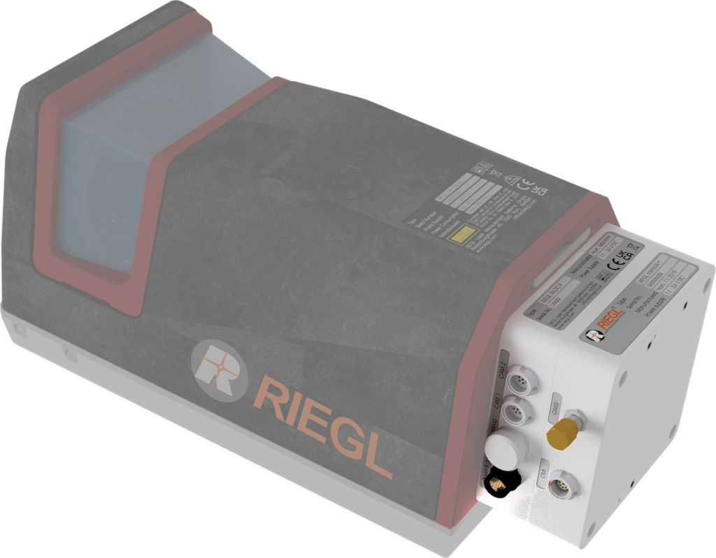
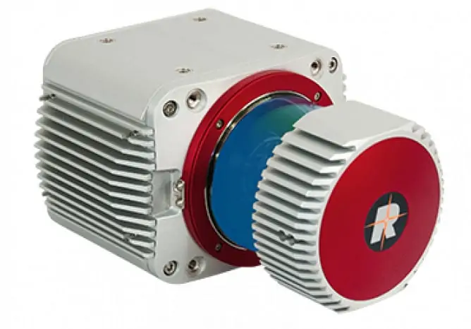
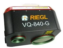
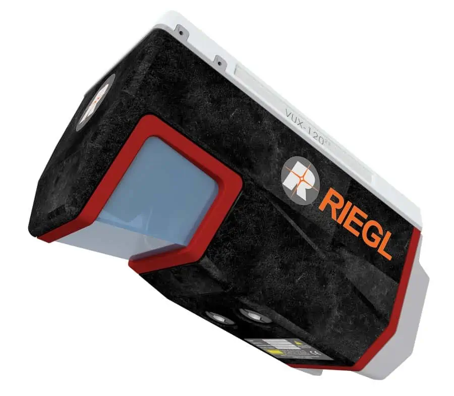
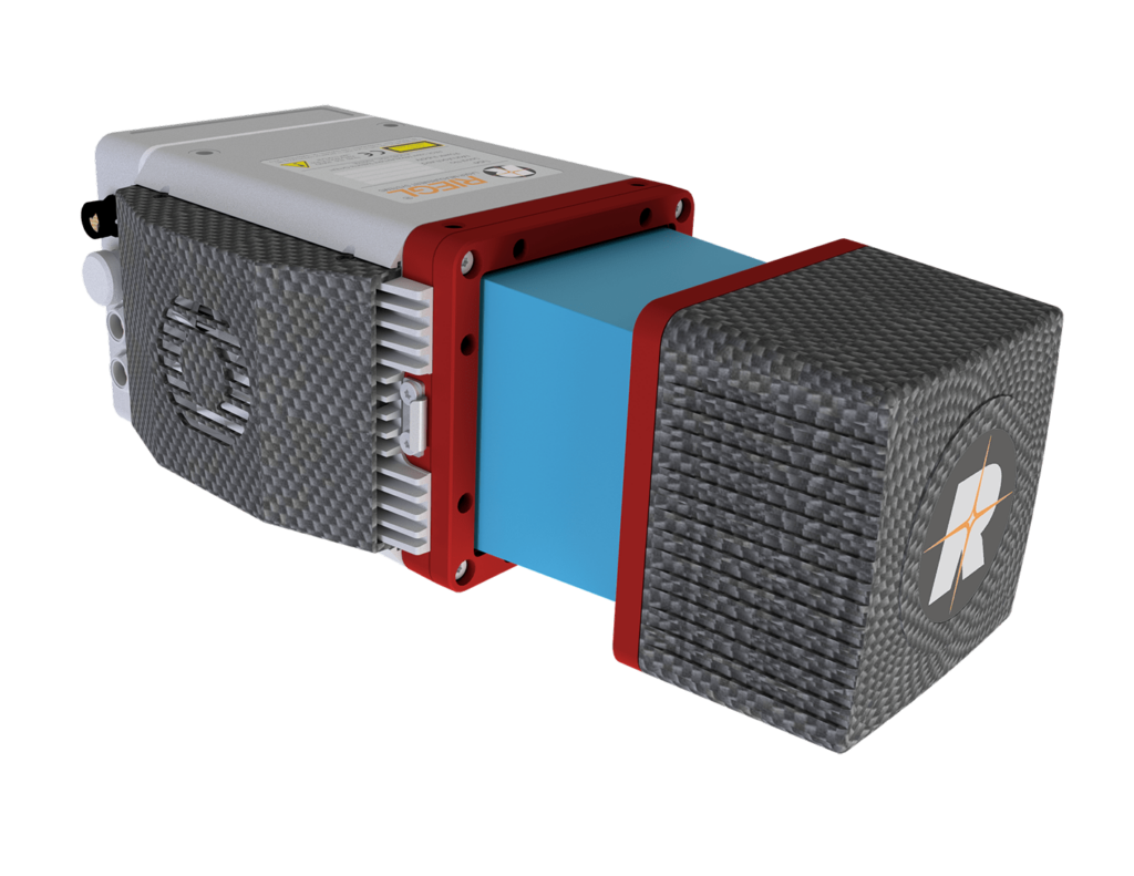
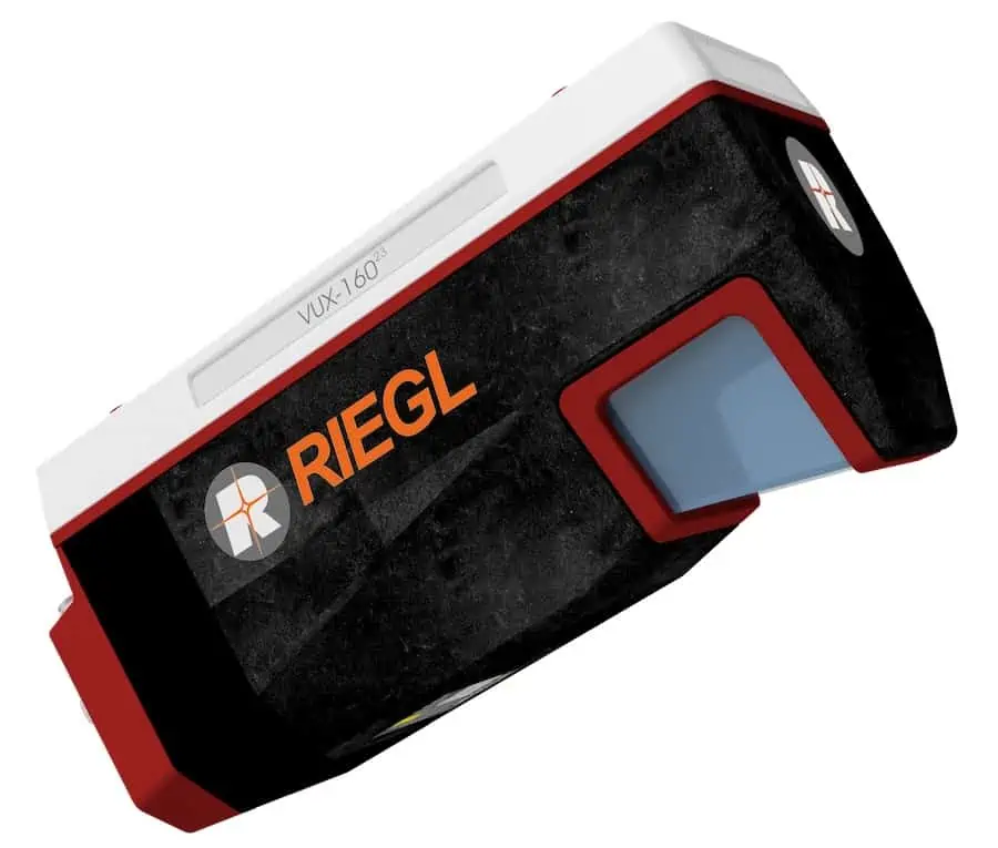
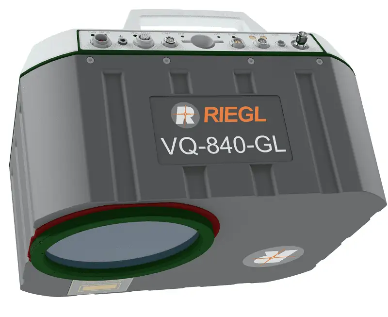
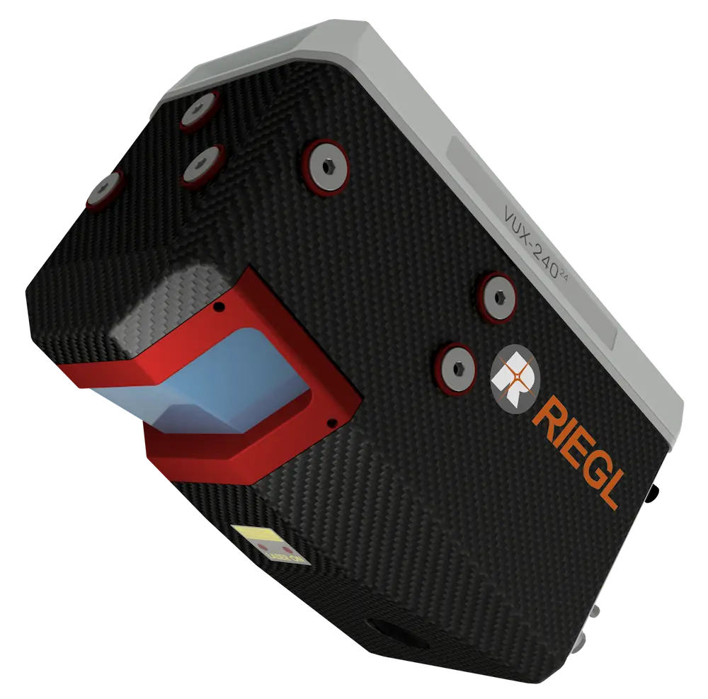
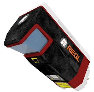
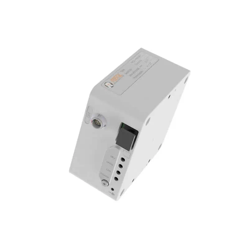
The RiLOC-F is a high-precision IMU/GNSS subsystem that is designed to attach directly to RIEGL’s VUX-10025 and VUX-12023 UAV laser scanners. Incorporating a MEMS IMU and a multi-constellation GNSS receiver in a single lightweight package, it provides enhanced accuracy for georeferencing of collected data.
The unit provides tight coupling of IMU, GNSS and LiDAR data, and the system’s workflow includes post-processing of both trajectory and scan data that is performed fully within RIEGL’s RiPROCESS software.
Specifications:
| Dimensions: | 85 x 85 x 44 mm |
| Weight: | 0.36 kg (0.8 lbs) |
| Position Accuracy: | 0.02 – 0.03 m (post-processed) |
| IMU Sampling Rates: | Up to >700 Hz |
| IMU Acceleration Range: | ±8 g, full scale |
| IMU Angular Rate Range: | ± 300°/sec |


