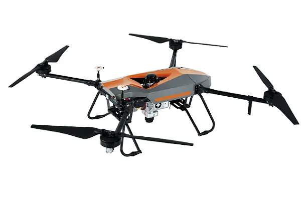
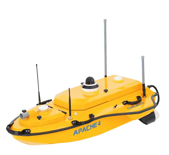
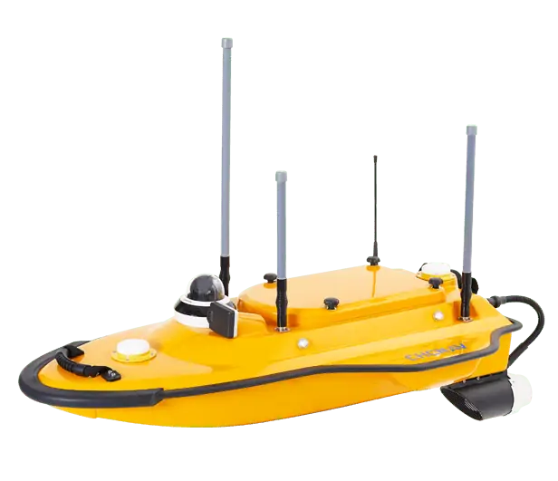
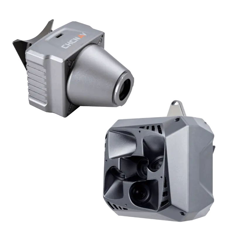
The RiverStar Series ADCP, available in RS1200 and RS600 models, provides unparalleled accuracy in both shallow and deep water environments. Utilizing a 5-beam solution and 300kHz central depth measurement, these advanced ADCPs excel in a variety of water conditions, from slow to fast currents and shallow to deep waters. When paired with the CHCNAV Apache 4 USV, operational efficiency reaches new heights, requiring only one boat and one remote control for fieldwork, marking a significant advancement in hydrological surveying.
The RS1200 and RS600 ADCPs feature a fully automated measurement mode, eliminating the need to manually configure flow measurement parameters. Data can be stored both in on-board memory and synchronized via software, ensuring reliable data retention and accessibility for comprehensive analysis.
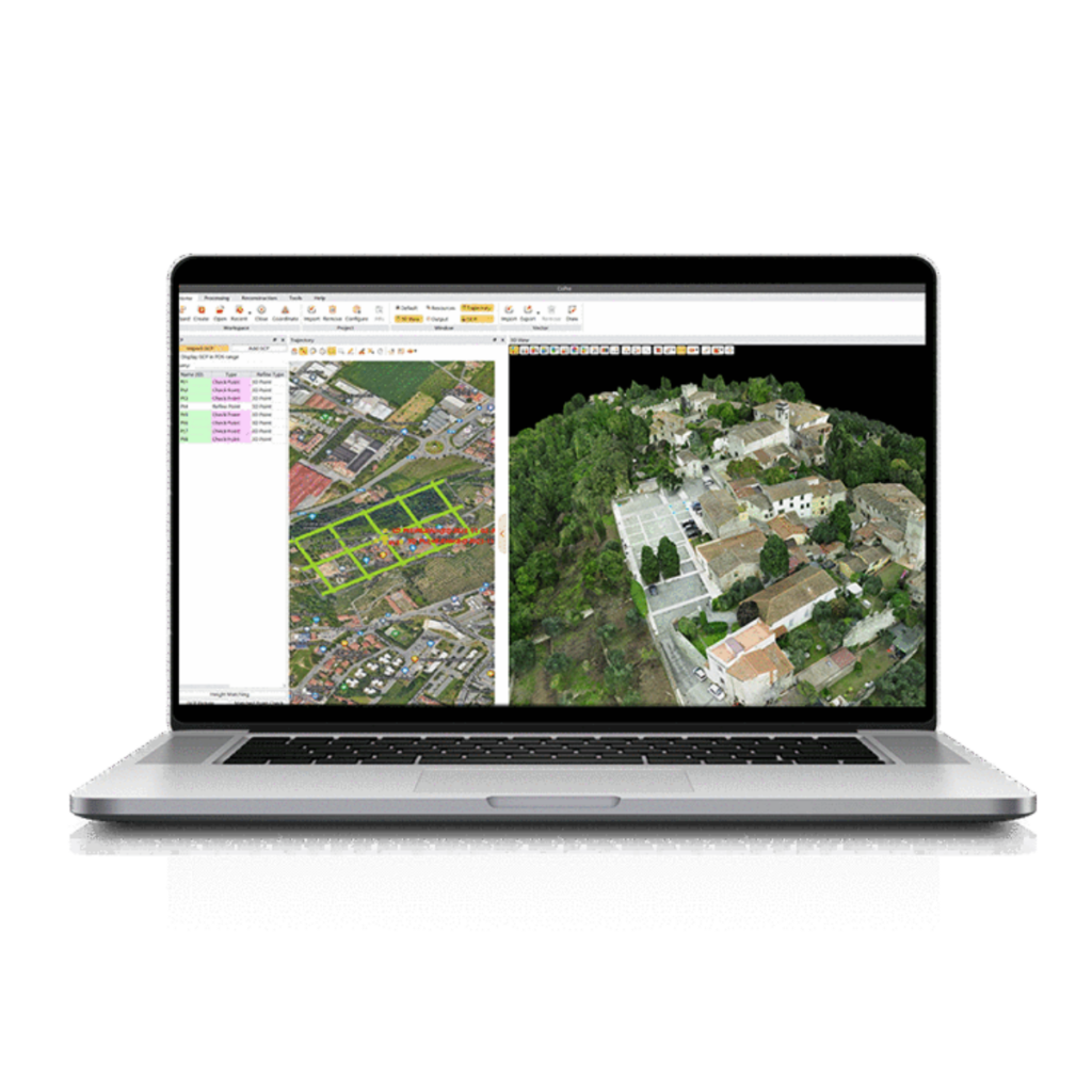
HydroProfiler for PC offers custom page layouts, data output, and compatibility with external echo sounders, enabling efficient data transfer via network protocols for hydrological analysis. Easysail software for CHCNAV Apache 4 USV facilitates data switching for various formats, including velocity profiles and satellite maps, and enables one-click file transfer and code sharing to a computer.
The RS series ADCP is equipped with a 300 kHz central bathymetric beam and is compatible with an external low-frequency echo sounder. This combination allows it to effectively penetrate high sand water conditions and accurately capture bottom data. Additionally, it can operate in 30% more environments compared to traditional surveying methods.
The RS1200 and RS600 automatically switch to Pulse Coherent Signal mode in shallow and low-flow water. The RS1200 has a minimum layer thickness of only 2 cm and a blind area of only 15 cm, allowing data collection in water as shallow as 30 cm, making it ideal for a variety of water conditions.
The RS1200 and RS600 ADCPs can be mounted on various types of surface vessels, including USVs, trimarans, cableway towing systems, motorized survey vessels, and channel buoys. Their flexibility ensures that our ADCPs can be used effectively in a wide range of hydrological survey scenarios.
The innovative hardware design of the RS1200 and RS600 significantly reduces noise, improving the signal-to-noise ratio by 5dB. Compared to traditional methods, accuracy is increased by more than 50%, providing reliable and precise data for various applications.
| RS-1200 | RS-600 | |
| Frequency | 1200 kHz | 600 kHz |
| Transducer | 5 beams | |
| Water velocity profiling | ±20 m/s maximum; ±5 m/s default | |
| Resolution standard | 1 mm/s | |
| Number of cells | 260 | |
| Cell size | 0.02~2 m | 0.05~4 m |
| Profiling range | 0.15~40 m | 0.3~90 m |
| Accuracy | ± 0.25% ±2 mm/s | |
| Depth range | 0.15~55 m | 0.3~120 m |
| Accuracy | ± 0.25% ±2 mm/s | |
| Velocity range | ±20 m/s maximum; ± 5m/s typical | |
| Compass: Range/Accuracy/Resolution | 0~360°/±0.1°/0.01° | |
| Tilt (pitch and roll): Range/Accuracy/Resolution | ±40°/±0.15°/0.01° | |
| Temperature: Range/Accuracy/Resolution | -10℃~85℃/±0.1℃/0.01℃ | |
| Operating mode | Broadband / pulse-coherent; automatic / manual | |
| Data output rate | 1-20 Hz | |
| Voltage range | 11 ~ 36V DC | |
| Material | Engineering plastics | |
| Size (Height × Diameter) | 191 mm×170 mm | 195 mm × 229 mm |
| Weight | 3.88 kg | 6.86 kg |
| Communication | RS232,115200 (default), 4800 ~ 115200 | |
| Internal storage | 32 G (extensible) | |
| Storage temperature | -30℃-70℃ | |
| Operating temperature | -5℃-50℃ | |
| Software | HydroProfiler, EasySail (Android) | |
| *Specifications are subject to change without notice. | ||


