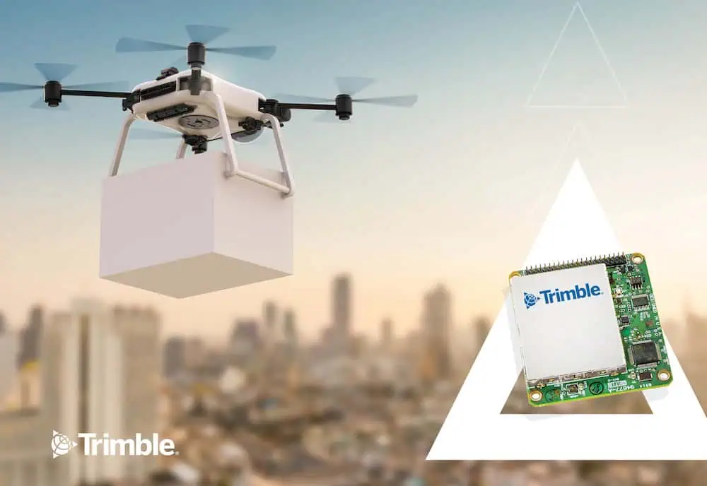
Experts at Trimble Applanix explore the advantages of its CenterPoint RTX technology in UAV applications, detailing how it streamlines high-accuracy positioning without base stations, enhances drone-based workflows, and supports evolving regulatory needs for BVLOS and autonomous operations.
How does Trimble’s CenterPoint RTX differ from traditional GNSS correction methods in UAV applications?
CenterPoint RTX is quite different from traditional GNSS correction methods like RTK or PPK, which depend on a nearby base station or RTK network. RTX is a global service that delivers centimeter-level corrections via satellite or the internet, so there’s no need for local infrastructure. That means UAVs can achieve precise GNSS positioning anywhere in the world, without the hassle of setting up and maintaining a base station.
This becomes especially valuable in remote areas with no cellular coverage or in environments where it’s just not practical to install a base station, like over oceans, in dense forests, or along international borders. Since RTX doesn’t rely on a fixed base location, UAVs can also cover large areas without worrying about losing correction coverage. The positioning accuracy is consistently around 2 to 5 centimeters worldwide, which is a major advantage for high-precision applications like large-scale mapping.
Are there specific use cases or success stories where RTX has significantly improved UAV data quality or operational efficiency?
We’re not able to share specific case studies due to confidentiality, but we’ve seen RTX deliver noticeable improvements across several common UAV use cases. For instance, in large-scale mapping and surveying, it allows operators to cover wide areas without moving base stations around, which results in big time and cost savings.
In infrastructure inspection, such as along power lines or pipelines, RTX maintains consistent positional accuracy throughout the route, which helps improve data quality. It’s also proven useful in precision agriculture, where accurate GNSS positioning helps improve the reliability of drone-based crop monitoring and resource management. And in remote or challenging locations where base stations can’t be set up easily, RTX’s global coverage really comes into play, allowing accurate data collection without any local GNSS infrastructure.
What role does Trimble Applanix software play in integrating RTX corrections into UAV mapping workflows?
Trimble Applanix is key to bringing RTX into UAV mapping workflows. The APX RTX GNSS-inertial solution uses CenterPoint RTX corrections to deliver real-time position and orientation data with centimeter-level accuracy. Then, the POSPac UAV post-processing software takes that data and refines it even further using RTX corrections after the flight, again, without needing any base stations.
This setup enables UAVs to generate accurate mapping-grade data in real time, which can support the creation of geospatial products like LiDAR point clouds or orthophotos while still in the air. It also helps automate parts of the mapping process, since high-accuracy positioning reduces the need for extensive ground control points.
Another benefit is in post-processing, by removing base stations from the workflow, you avoid issues like datum inconsistencies and other setup-related errors, which helps streamline and speed up data delivery.
Can you explain how RTX corrections improve absolute accuracy in autonomous drone delivery operations?
In autonomous drone delivery, having precise positioning is critical, especially for that final step of placing the package exactly where it needs to go. RTX plays a major role by giving drones real-time, centimeter-level accuracy in a fixed global reference frame, so they always know their exact location relative to the Earth.
Unlike standard GNSS, which can drift over time, RTX continuously corrects those errors, keeping the drone’s position stable throughout the flight. That level of accuracy allows drones to follow their pre-programmed flight paths with high confidence and land precisely at the intended drop-off point, even in environments that are more complex or constrained.
This not only supports successful deliveries but also helps improve operational safety by reducing the risk of navigation errors during critical phases of flight.
What are Trimble’s plans for enhancing RTX capabilities in support of evolving UAV regulations and BVLOS missions?
Trimble is always advancing RTX to meet the demands of evolving UAV regulations and Beyond Visual Line of Sight (BVLOS) operations. A key focus is increasing the reliability and robustness of the correction service itself, including introducing redundancy to ensure that positioning remains continuous and dependable, especially when there’s no direct human oversight.
We’re also working on reducing convergence times, which means getting to full accuracy faster, a big advantage when UAVs need to launch quickly or operate in fast-paced environments. Another priority is improving integration with other onboard navigation systems like Inertial Measurement Units (IMUs), to enhance positioning performance in tough conditions like urban environments or under canopy.
At the same time, we’re making sure RTX meets or exceeds regulatory accuracy and integrity standards for BVLOS and other advanced UAV operations. And as urban air mobility becomes more of a reality, RTX is positioned to provide the precision and reliability needed for navigation and collision avoidance in crowded, complex airspace.


