
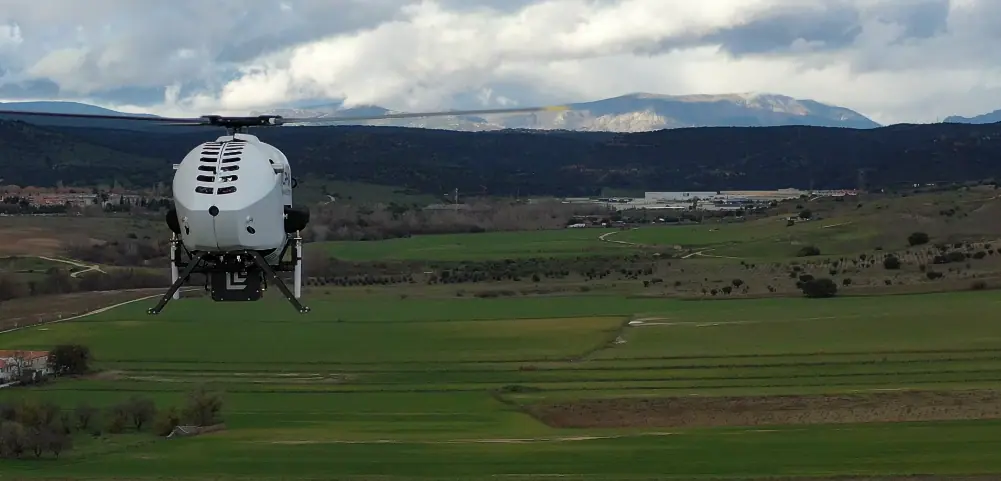
Enhancing UAV Helicopter Functionality through Payload integration
Alpha Unmanned Systems recognizes the critical importance of obtaining real-time and precise intelligence in contemporary military and civilian operations.
The company’s unmanned aerial vehicles (UAVs) are equipped with a variety of complex sensors designed to considerably improve operational efficiency, situational awareness, and reconnaissance capabilities. This cutting-edge technology offers a strategic edge for unmanned helicopters, providing extensive data and analytical capabilities across diverse and challenging environments. Here, we explore the most prevalent applications and sensors utilized in this field.
IMSI Capture Technology
International Mobile Subscriber Identity (IMSI) capture devices are capable of intercepting and identifying signals from mobile devices, collecting unique identifiers associated with these phones. The applications of IMSI capture technology include:
- tactical Operations: By utilizing operator mobile devices,IMSI catchers can assist in locating and identifying key targets or enemy units.
- Electronic Warfare: This technology can monitor or disrupt adversarial communication networks by gathering IMSI numbers for targeted electronic countermeasures.
- Search and Rescue Missions: This system can aid rescue teams in communicating with missing individuals without requiring any action from the victims, allowing for immediate access to critical information, including urgent medical needs.
- Signal Intelligence (SIGINT): The system can analyze intercepted mobile communications to gather intelligence on unfriendly activities, track movements, and identify potential targets.
High-Definition Imaging Solutions
High-resolution cameras enable the capture of HD video and images for thorough intelligence gathering and visual analysis. Key applications include:
- Battle Damage Assessment: Evaluate the outcomes of military engagements and operational effectiveness,facilitating prompt tactical adjustments.
- Reconnaissance and Surveillance: Conduct detailed monitoring of target locations, movements, and structures, yielding valuable strategic insights.
- Border Security and Maritime Awareness: Monitor vast areas to identify unauthorized entries,security breaches,or potentially hostile activities.
Thermal Imaging Technology
Thermal cameras detect objects emitting infrared radiation, allowing for the visualization of temperature differentials that are otherwise invisible. Applications of thermal imaging include:
- Target Identification: This technology can locate and identify heat signatures from vehicles and individuals,even in obscured or camouflaged settings.
- Search and Rescue: Thermal cameras significantly enhance the ability to locate and track missing or injured individuals in complex environments or adverse weather conditions.
- Surveillance and Reconnaissance: These cameras allow operators to monitor activities in low-light and low-visibility conditions, making them effective for nighttime missions and dense foliage.
LiDAR Technology for Precision Mapping
Light detection and Ranging (LiDAR) employs laser pulses to measure distances and create accurate 3D models of environments or terrains. Notable applications include:
- Terrain Mapping: LiDAR payloads can generate highly precise maps of areas, providing essential intelligence for obstacle detection, navigation, and mission planning in unfamiliar or challenging environments.
- Infrastructure Assessment: This technology enables the evaluation and modeling of structures such as buildings, fortifications, and bridges, informing future tactical decisions or demolition efforts.
- Counter-IED Operations: LiDAR is particularly effective in locating and mapping improvised explosive devices (IEDs) by identifying changes in terrain or infrastructure.
For further insights, read the original article or visit the Alpha Unmanned Systems website.


