revolutionizing Land Surveys with the IF1200 Drone
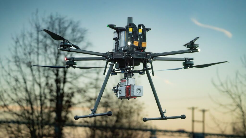
Redefined Horizons utilized Inspired Flight’s cutting-edge IF1200 drone, equipped with the phoenix miniRANGER-3 LiDAR system, to conduct a meticulous land survey for an industrial site situated along the Willamette River in Portland, Oregon.
Surveying an Expansive Area
The 80-acre parcel, nestled between the river and Highway 30, was meticulously surveyed to produce high-resolution aerial imagery, topographical data derived from LiDAR, and a detailed GIS dataset that cataloged various site features.
Supporting Engineering and Planning Efforts
The generated deliverables were instrumental in facilitating engineering design, environmental assessments, and construction planning. The IF1200’s impressive endurance and payload capacity allowed for efficient data collection, capturing essential site details such as elevation contours and subsurface infrastructure.
Efficiency through UAV Technology
Employing UAV-based LiDAR technology considerably minimized fieldwork duration and reduced the need for extensive manpower compared to conventional ground surveying techniques.
Complete Data Collection
The entire site was mapped across six flights over a span of five days, resulting in a dataset comprising 114 million LiDAR points alongside high-resolution imagery captured by a 61MP Sony ILX-LR1 camera. The data was processed using Phoenix Spatial Explorer and seamlessly integrated into a structured GIS model for engineering applications.
Advantages of the IF1200 Drone
The IF1200 drone offered numerous benefits, including prolonged flight times, ample lifting capabilities, rotor redundancy for enhanced safety, and compliance with NDAA regulations. These features enabled Redefined Horizons to uphold data integrity while minimizing the time spent on-site.
Final Deliverables and Future applications
The final outputs included survey-grade LiDAR data, orthoimagery, 3D site models, and indexed infrastructure mapping—all organized for future utilization without the necessity for repeat visits.
Explore the complete article >>


