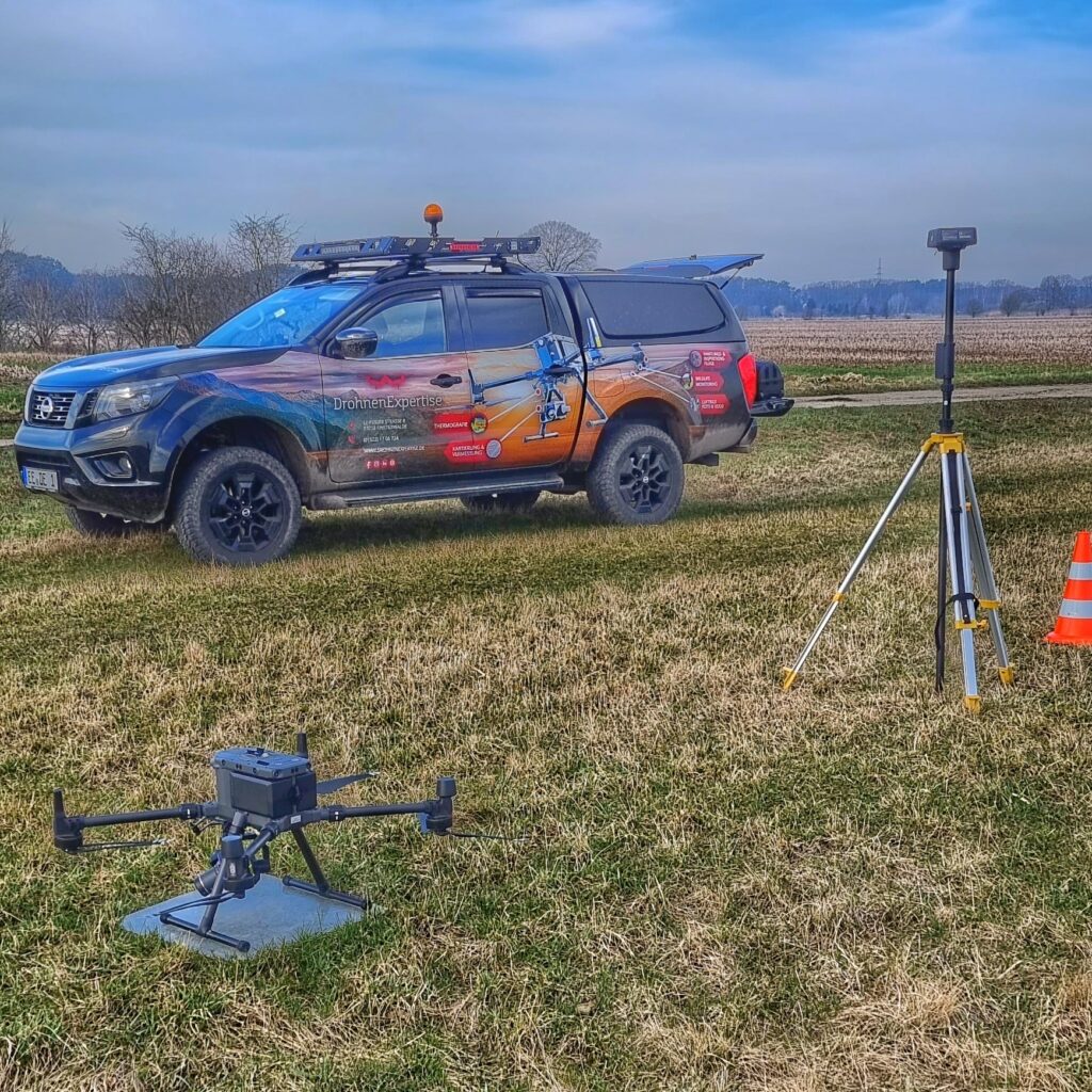
Drohnen Expertise Solutions GmbH stands at the forefront of professional UAV (unmanned aerial vehicle) photography and videography services, headquartered in Brandenburg and Hamburg, and extending its operations across Germany. Our skilled pilots,equipped with cutting-edge drone technology,capture high-resolution images and videos from innovative angles,enabling you to acquire essential insights swiftly and cost-effectively compared to conventional methods.
We focus on a diverse array of surveying, inspection, and monitoring applications across multiple sectors.To discover how we can customize our drone services to meet your specific needs, please reach out to us.
Navigate to Section:
- Smart Agriculture
- Solar Panel assessment
- Wind Energy Turbine Evaluation
- Infrastructure & Facility Inspections
- Mapping & Surveying
- Wildlife Surveillance & Health Management
Smart Agriculture
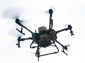
our drones are outfitted with advanced sensors and technology that collect vital agricultural data with remarkable accuracy and speed. This enables you to optimize field management,promptly address issues,and enhance crop yields. Utilizing LiDAR scanners and multispectral or hyperspectral cameras, the aerial data gathered allows for monitoring plant health, identifying water stress, and detecting pest outbreaks.
Additionally, topographic data can be utilized to create detailed maps of your agricultural lands.
Our highly trained pilots execute these tasks with precision, planning effective flight paths to cover extensive areas, thus conserving your time and resources.
High-Tech Agricultural Drones: Essential Tools for Farming Agricultural drones represent a significant advancement in making farming and forestry more precise and efficient. explore our article on the impact of drone technology in agriculture and forestry.
For further details: Smart Agriculture with drones
Solar Panel Assessment
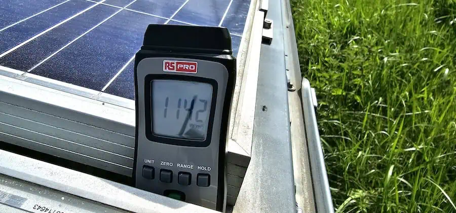
Solar panels are susceptible to various issues, including cracks, moisture infiltration, diode failures, and debris accumulation. Inefficient configurations can also result in prolonged shading of solar modules. Over time, these complications can lead to decreased energy output and costly repairs.
We offer aerial inspections of solar farms and facilities of all sizes, capturing hard-to-reach areas without interrupting operations. This proactive approach allows you to address issues before thay escalate, ensuring smooth and efficient operations.
Enhancing Solar System Efficiency with Drones Drones have transformed the construction and maintenance of solar systems. Read our article on the strategic submission of drones in solar system management.
For more information: Solar Panel Inspection with Drones
Wind Energy Turbine Evaluation
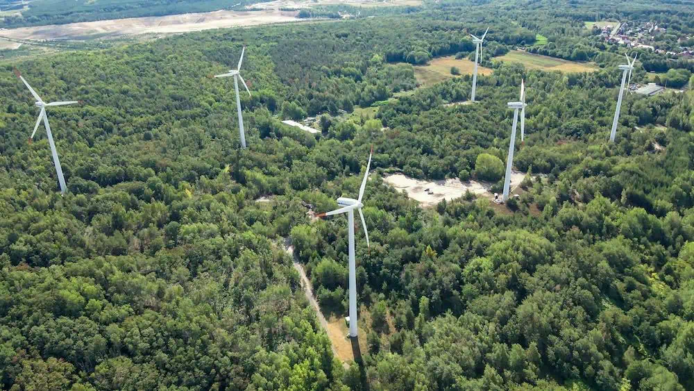
Regular inspections and maintenance of wind turbines are essential not only for optimal performance but also for legal compliance and insurance purposes. Factors such as lightning strikes, fire, ice, electronic malfunctions, and mechanical wear can damage rotor blades, towers, and nacelles. Minor issues can escalate into significant hazards if not addressed promptly.

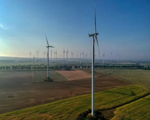
We utilize drones equipped with both visible and thermal imaging cameras to conduct comprehensive inspections of wind turbines, capturing high-resolution images from a safe distance while the turbines remain operational. This method is faster, more cost-effective, and poses less risk than traditional climbing inspections, enabling timely repairs and maintaining optimal performance.
For additional information: Wind Turbine Inspections with drones
Infrastructure & Facility Inspections
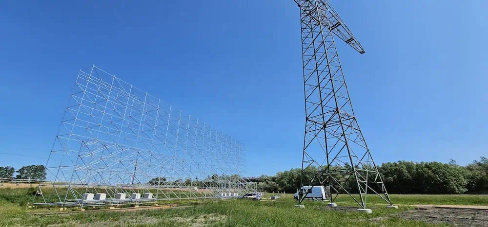
Structures such as skyscrapers, industrial plants, bridges, roads, railways, and pipelines deteriorate over time due to environmental factors, temperature extremes, and traffic. Inspections conducted by ground crews,specialized climbers,or helicopters can be expensive and carry inherent risks.
Our drone inspections facilitate thorough assessments without the need to halt operations or restrict access,ensuring minimal disruption and revenue loss. Drones can also be deployed quickly in response to emergencies like storms or accidents.
Drones for Inspection and Surveying Tasks Industries, particularly in rail transport, solar, and wind energy, face challenges in maintaining and inspecting extensive and frequently enough hard-to-reach systems. Read our article on how drone technology enhances efficiency in inspection and surveying.
For further details: infrastructure Inspection with Drones
Mapping & Surveying
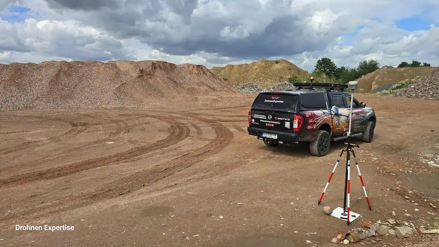
Drones excel at capturing orthophotos, 3D point clouds, and other essential data for generating maps and models used in construction, property management, and land surveying. This high-precision data allows for accurate area and volume calculations, project monitoring, and early identification of discrepancies between plans and actual conditions.
By conducting aerial surveys, we help minimize design errors and rework, potentially saving significant costs in materials and labor. This can be achieved without disrupting ongoing work and allows for safe photography of hazardous or hard-to-reach areas.
For more information: Drone Mapping & Surveying
wildlife Surveillance & Health Management
Drones play a crucial role in conservation efforts and wildlife monitoring, aiding in the preservation of biodiversity and the protection of endangered species. We assist in tracking specific animals, safeguarding ground-nesting birds, and conducting regular population assessments, ensuring minimal disturbance to wildlife.
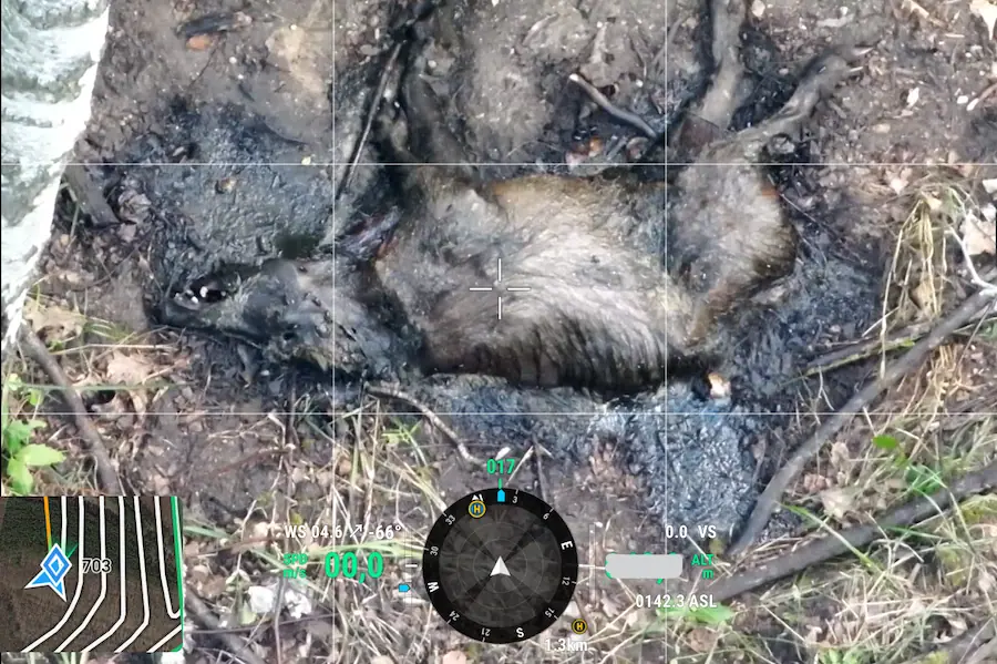
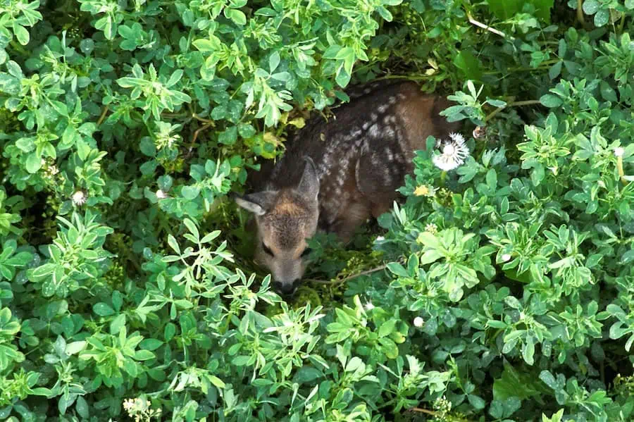
aerial surveillance is also vital in managing the spread of diseases like African swine fever (ASF),which poses a significant threat to domestic pig populations. Our expertise in utilizing drone technology with visual and thermal imaging allows for the detection of live animals and carcasses from the air, enabling swift action to eliminate potential infection sources.
Utilizing Drones in the Fight Against African Swine Fever (ASF) African swine fever (ASF) is a lethal disease spreading across various regions. While traditional methods often fall short, drones offer innovative solutions in combating this virus. Read our article on how drone technology is making a difference in this battle.
For more information: Wildlife Monitoring with Drones

