Products / UAV Navigation-Grupo Oesía / Visionair GCS Software

uav navigation logo.webp

Guidance, Navigation & Control Solutions (GNC) for Drones & UAVs

UAV Navigation-Grupo Oesía / Visionair GCS Software

Visionair GCS Software

Ground control station software for mission planning & analysis

Socials
Visionair GCS Software

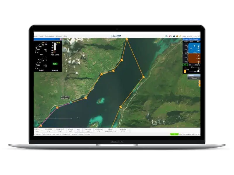
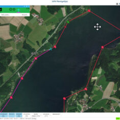
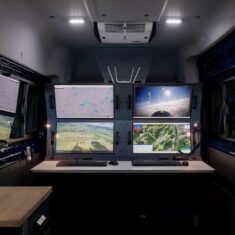
UAV Navigation’s Visionair ground control station software offers an intuitive all-in-one solution for UAV mission planning, execution and post-analysis. The full-featured and highly customizable interface allows users to create and modify flight plans with the most efficient waypoint distribution, as well as to analyze telemetry, calibrate and configure payloads, and adjust autopilot gains.

The software offers a wide range of useful features including gauges, alarms, and Google Earth 3D visualizations. It is compatible with Sagetech ADS-B IN & OUT transponders and visual-based obstacle detection technology such as Iris Automation’s Casia, and can display information on air traffic and potential hazards.

Other Products

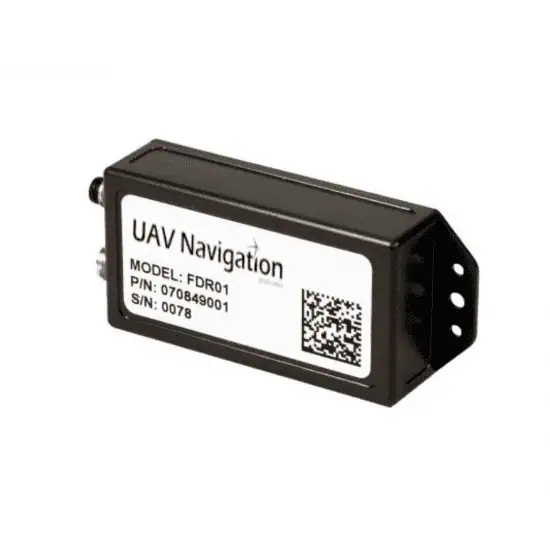
Flight data recorder for UAVs & unmanned systems
Software-in-the-loop UAV simulator for basic testing & training
Mission control computer enabling independent payload management
Hardware-in-the-loop UAV training simulator
GCS hardware hub for multi-peripheral networking
Dual GNSS compass for high-accuracy heading estimation
Self-contained magnetometer for dynamic UAV applications
Visual navigation system for GNSS-denied environments
Combined air data, AHRS & INS unit for UAVs