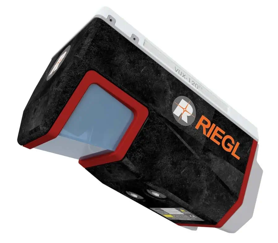
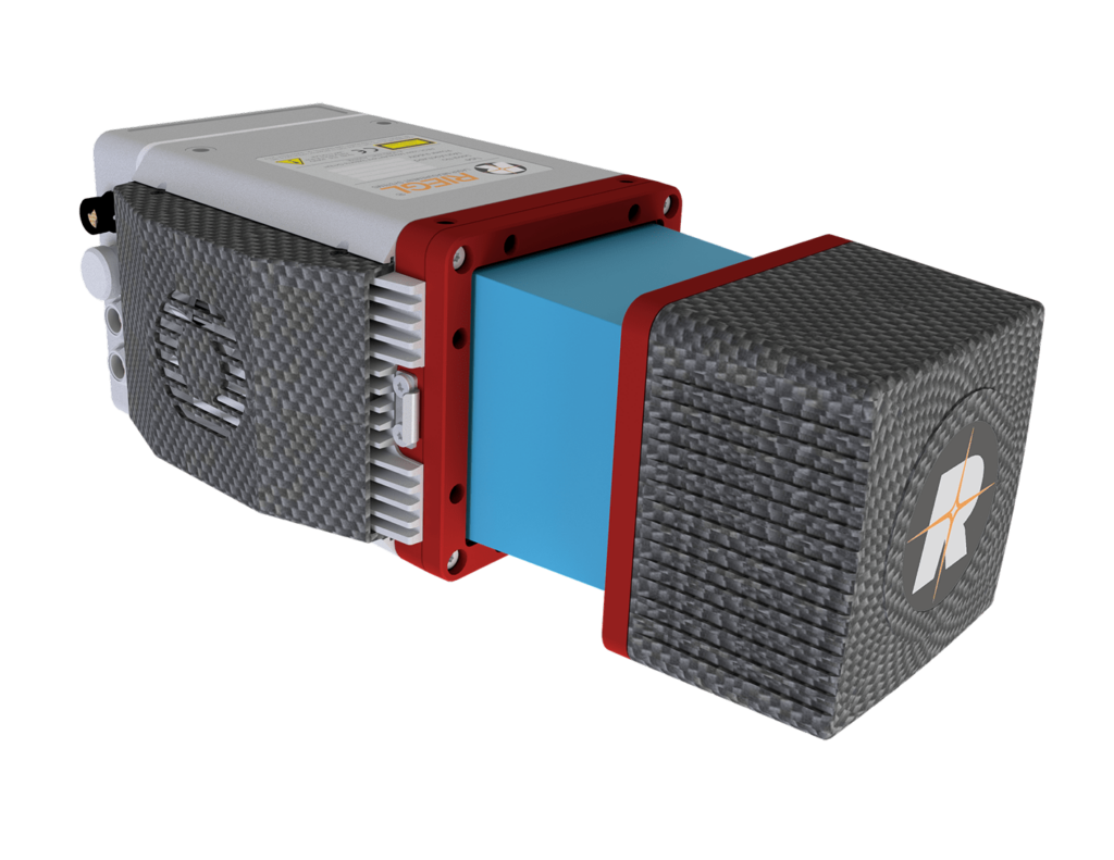
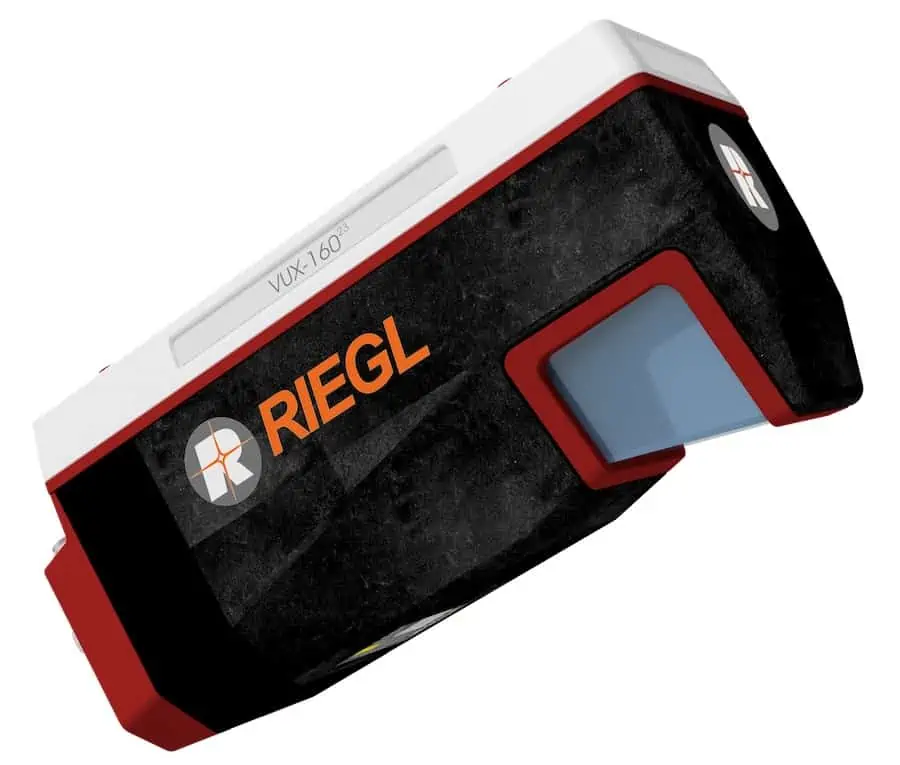
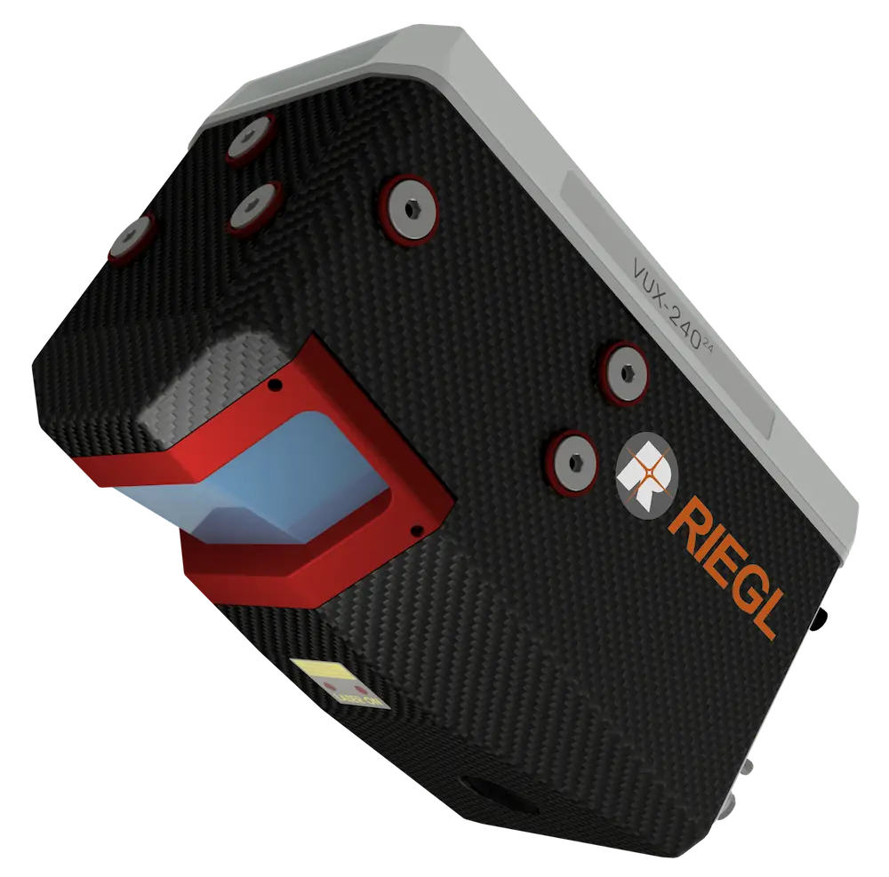
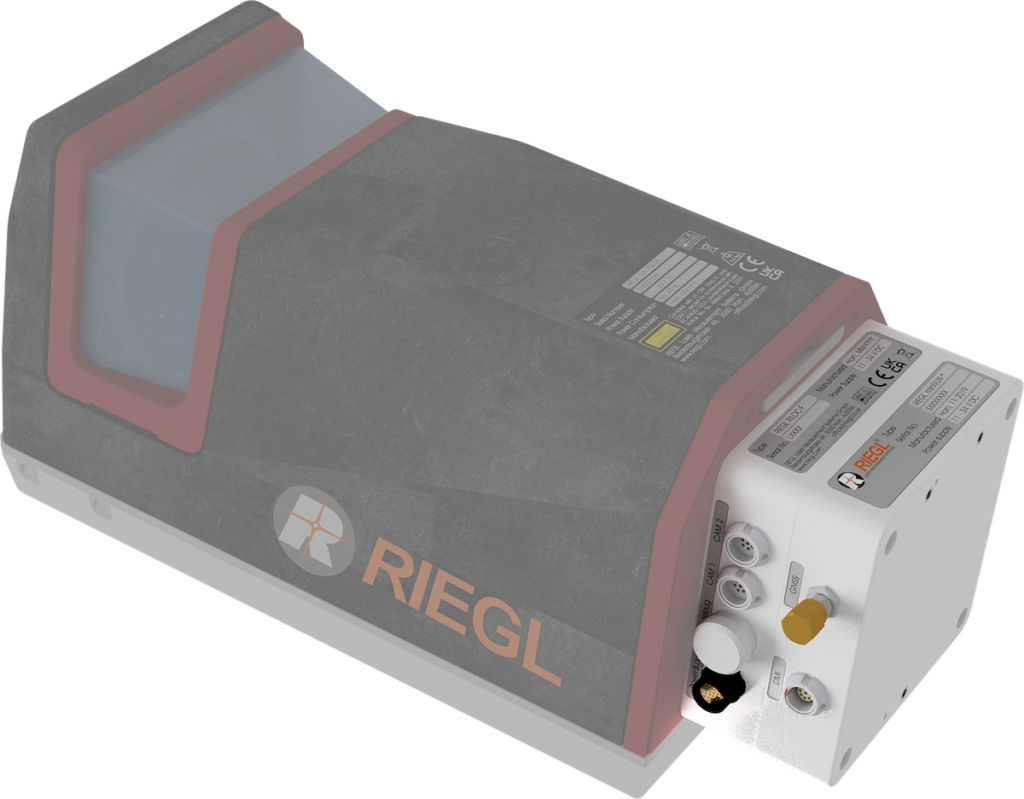
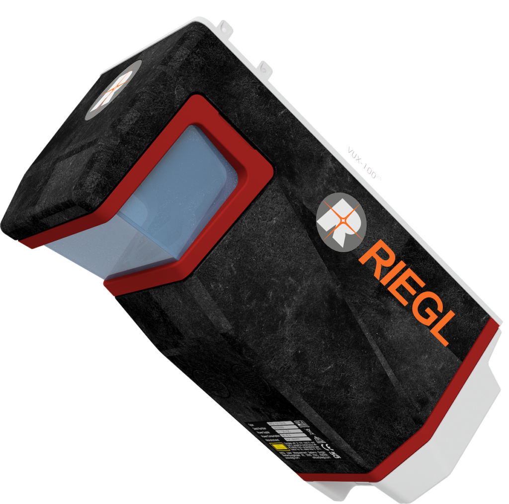
Join RIEGL USA and Clymer Farner Barley and learn how the unmatched performance of the RIEGL VUX-120²³ is being utilized in open-pit mining. Register today > >
With the Nadir, Forward, and Backward (NFB) scanning pattern of the VUX-120²³ mounted to a Harris Aerial H6 Hybrid drone platform, data is quickly and efficiently collected without risking quality.
Highlights:
- How the VUX-120 improves data collection
- Benefits of NFB scanning for mining
- Real-world examples and results
- Q&A
Speakers
Tyler Shriver
Tyler has a Bachelor’s of Mechanical Engineering from the University of South Florida with expertise in terrestrial, mobile and UAV-based laser scanning. In his past two years at RIEGL USA, he has focused on unmanned laser scanning integration and support, with a more recent specialization as an Unmanned Laser Scanning (ULS) Sales Engineer.
Brian Sumner
Geospatial Division Manager
Brian earned his Associate of Arts degree from Lake-Sumter College. He further advanced his academic journey at the University of Florida, where he obtained his Bachelor’s degree. Today, Brian is at the helm of the newly established Geospatial Division at Clymer Farner Barley Surveying, LLC. In his role, he oversees a diverse array of surveying projects, which encompass land development, construction, route surveys, and ALTA surveys.
Click here to register.


